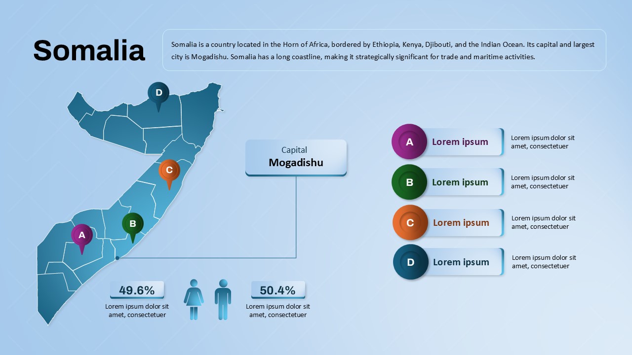
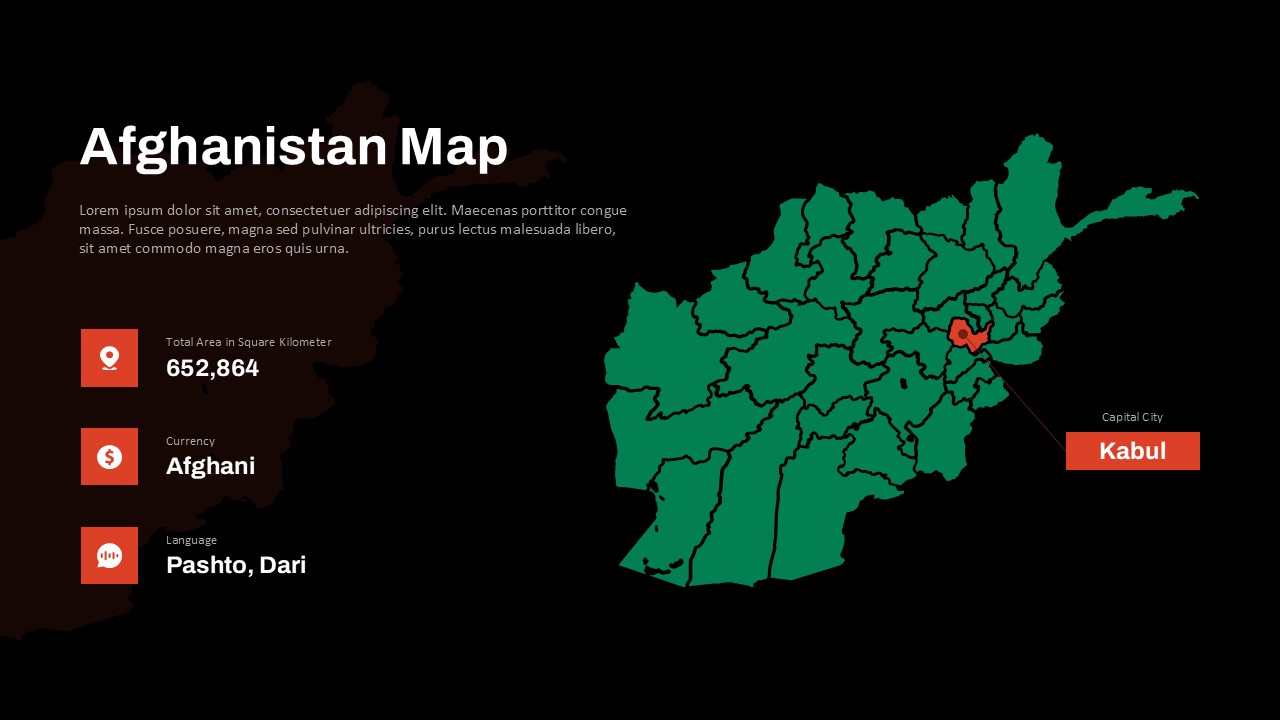
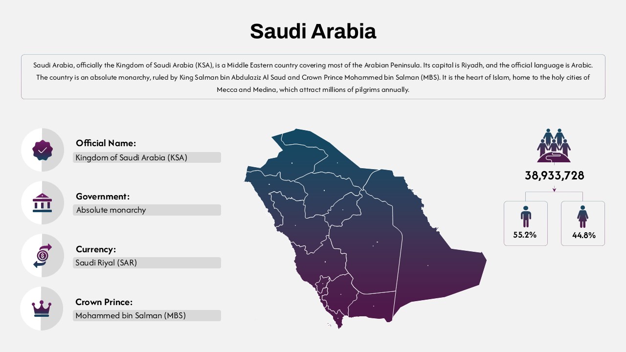
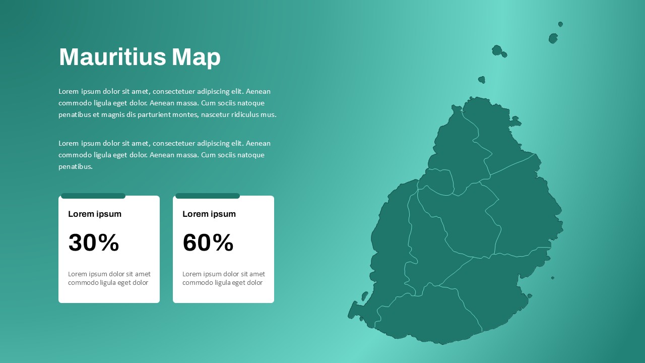
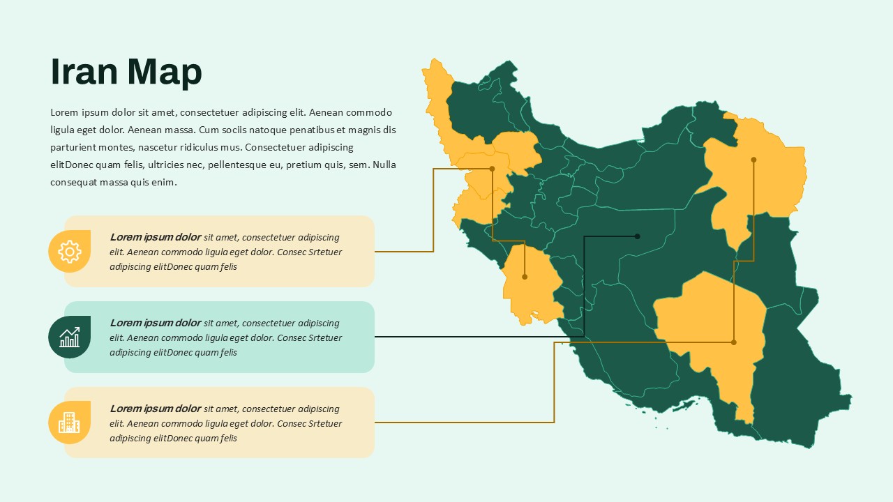
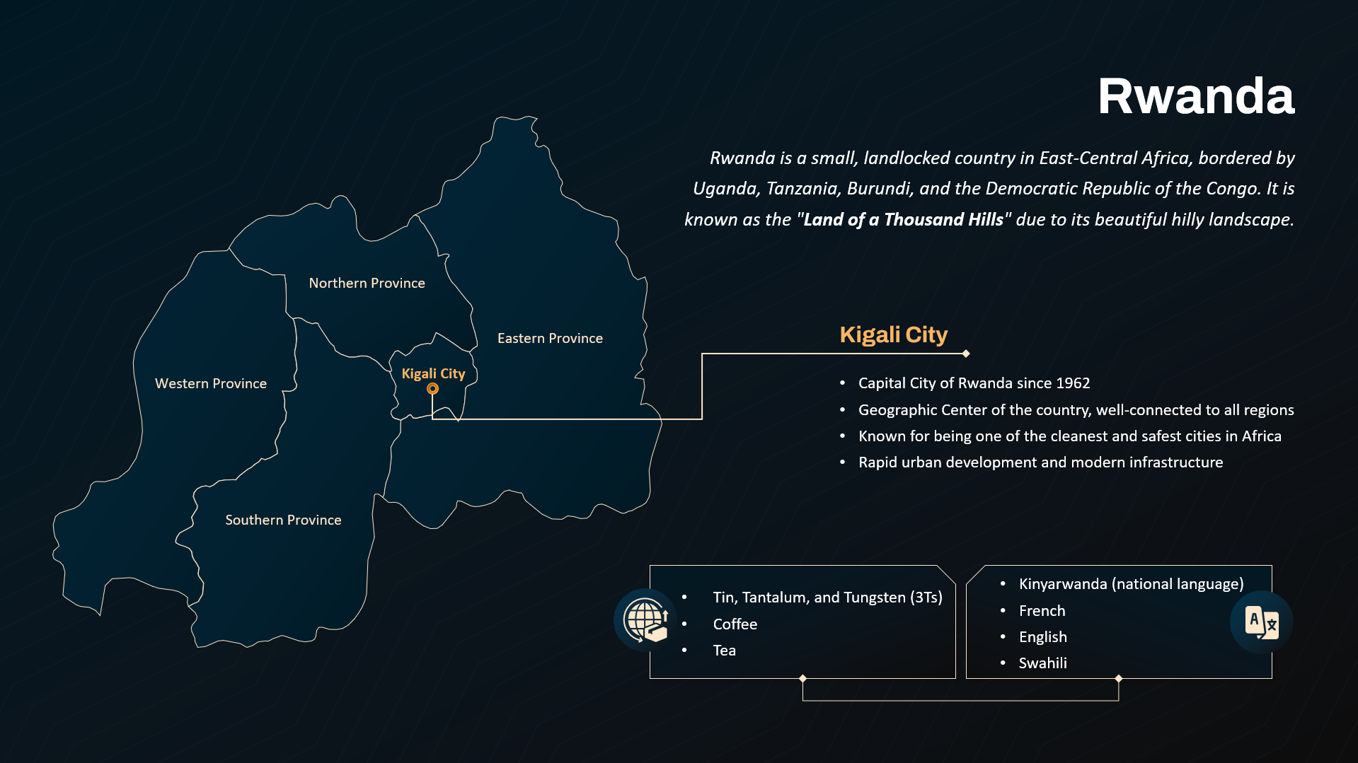
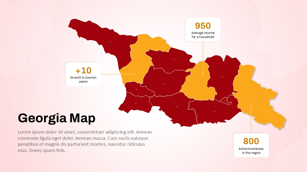
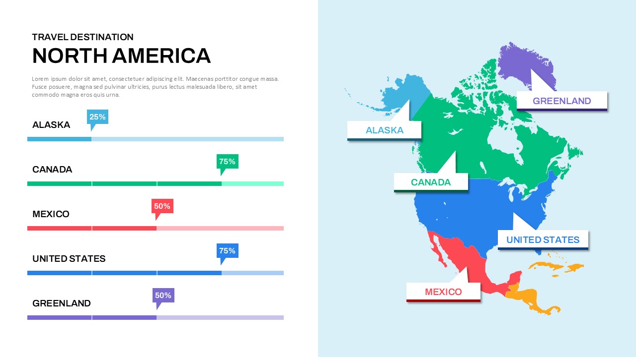
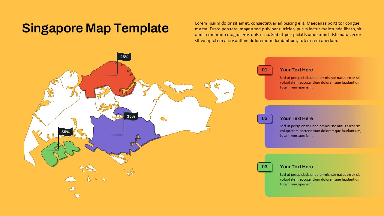
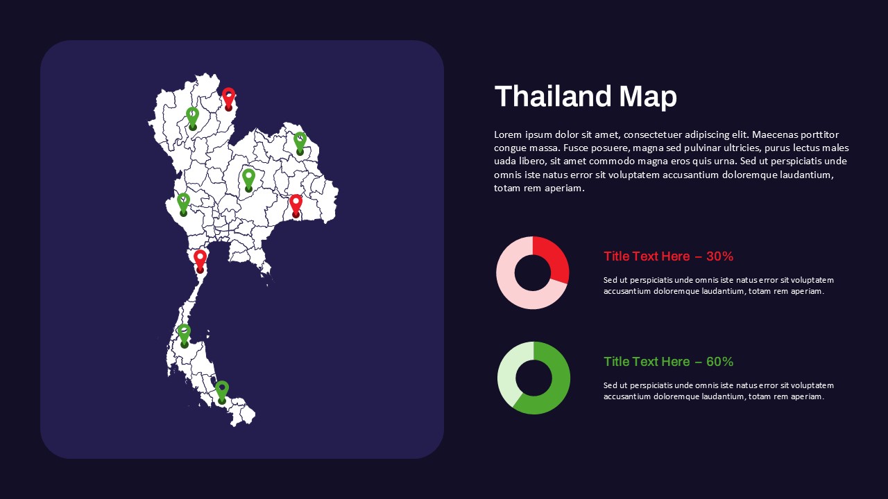
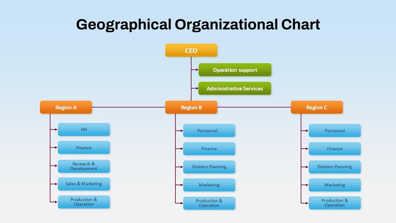
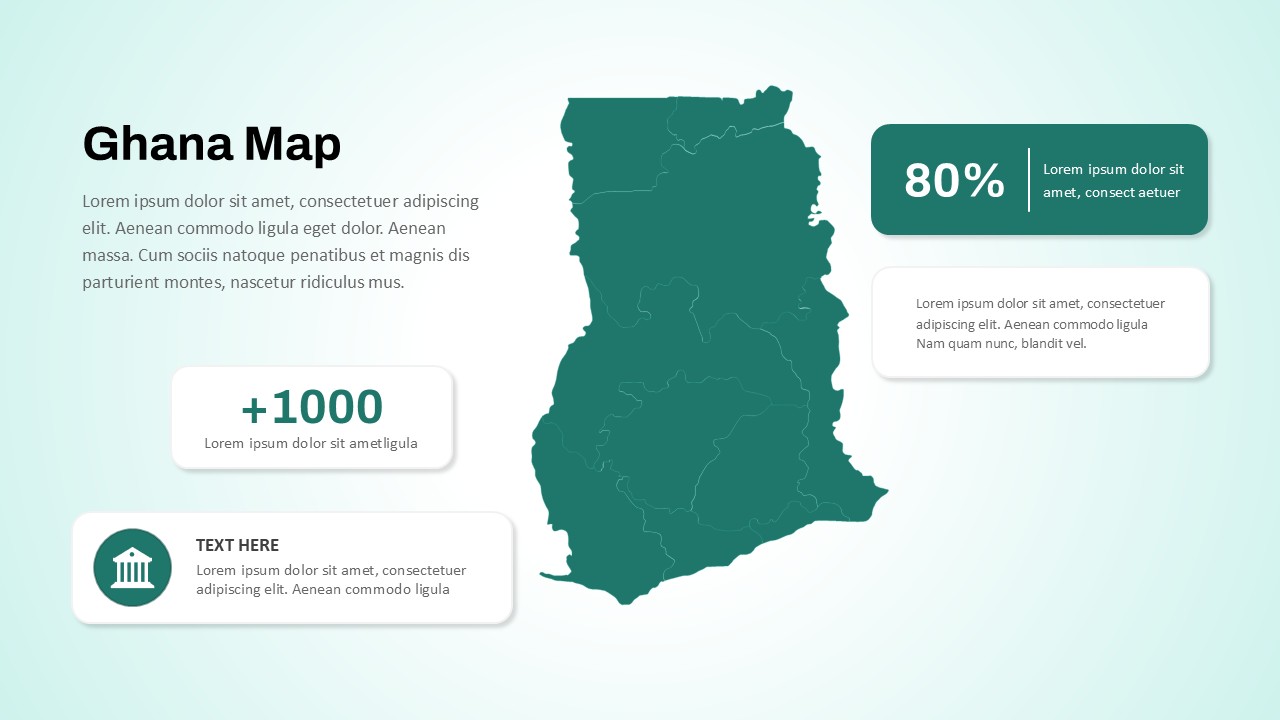
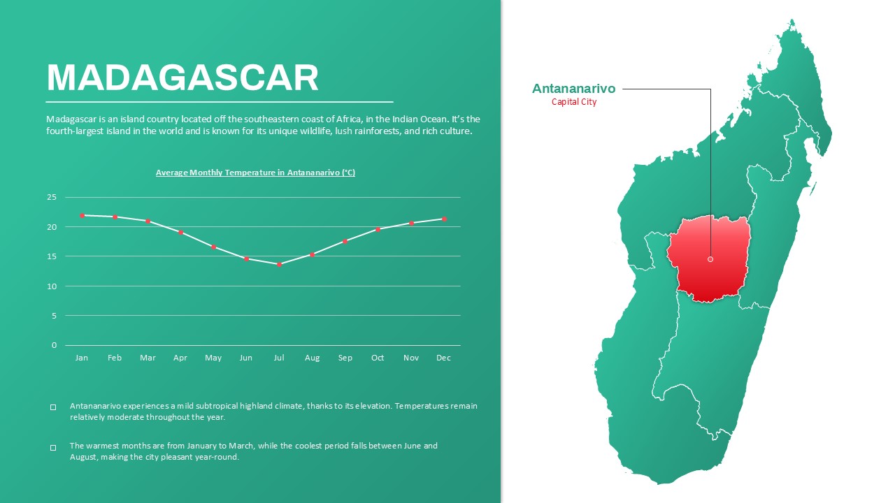
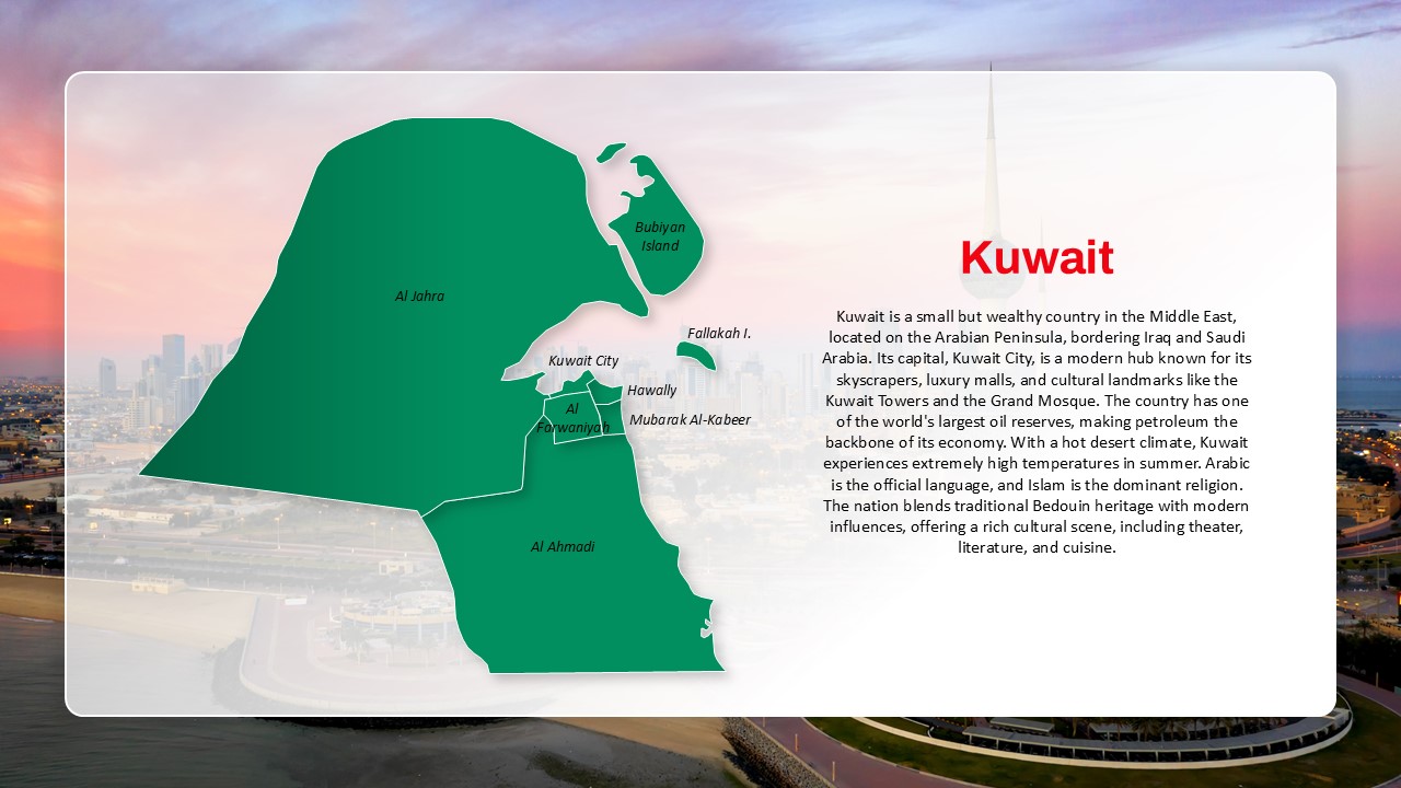
Lebanon Country Map Highlight Slide for PowerPoint & Google Slides
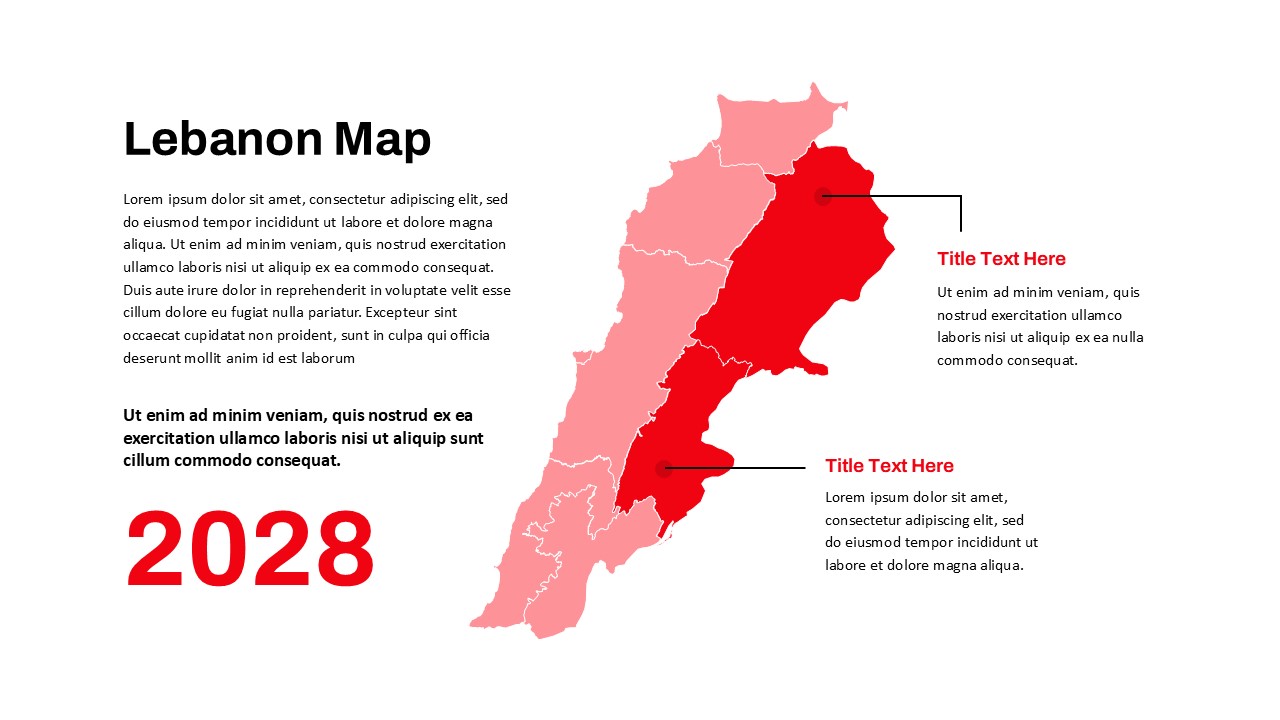
Showcase geographic insights or regional data with this Lebanon Country Map Highlight Slide. Featuring a clearly segmented vector map of Lebanon with bold red and pink gradients, this slide enables focused storytelling through visual differentiation of territories or administrative zones. Two key areas are annotated with text placeholders and connector lines, perfect for adding commentary, statistics, or strategic notes. The left side of the slide offers ample space for descriptive text, while a bold date marker (“2028”) anchors the visual context for time-sensitive presentations.
This map is ideal for illustrating market presence, regional planning, election forecasts, or socio-economic trends across Lebanon. Its minimalist design prioritizes clarity and ensures compatibility with various brand themes and corporate color schemes. Fully editable in both PowerPoint and Google Slides, users can quickly adapt region colors, move labels, and resize elements to suit their narrative.
Whether you’re delivering a country report, launching a national campaign, or presenting demographic studies, this Lebanon map slide offers a powerful visual framework for geographic storytelling and strategic communication.
See more

Aspect Ratio
16:9Item ID
SKT03564
Features of this template
Other Uses
This slide can also be used for travel itinerary planning, academic lectures, real estate segmentation, population distribution analysis, or regional risk assessment presentations.
FAQs
You May Also Like These Presentation Templates


- Free

- Free


- Free
- Free
- Free
- Free