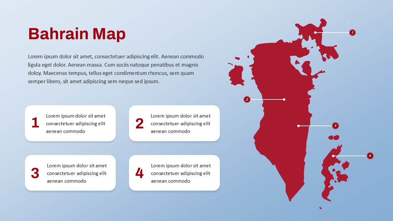
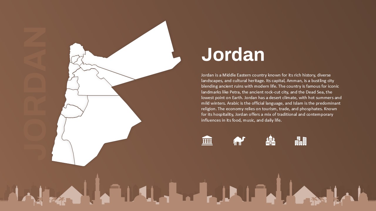
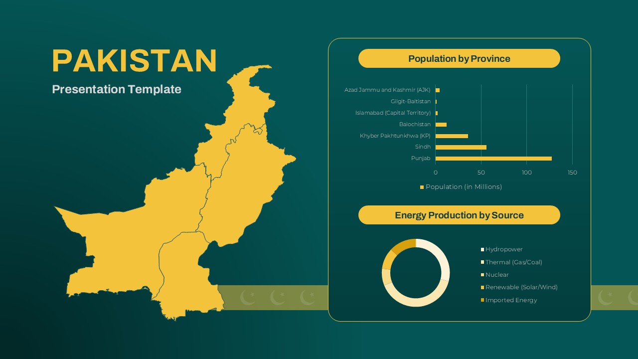
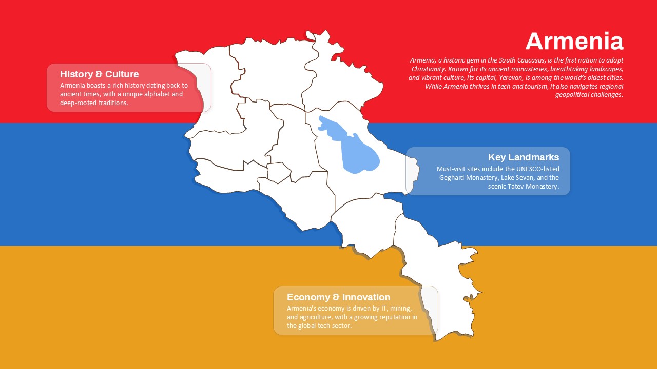
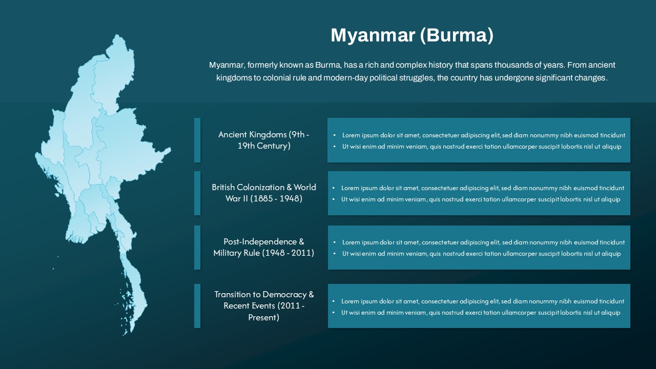
Editable Somalia Map Template for PowerPoint & Google Slides
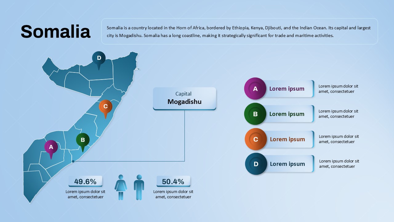
Present a detailed overview of Somalia with the Somalia Map Presentation Template, perfect for geographical analysis, country briefings, or educational purposes. This map PowerPoint template highlights Somalia’s key regions, from the capital city of Mogadishu to other important areas, giving your audience a clear and visually engaging look at the country’s layout and demographics.
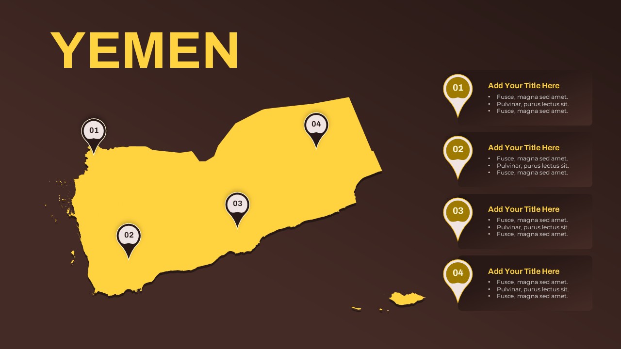
The map slide template includes a map with clickable regions marked as A, B, C, and D, each with space for further data, statistics, or insights. This layout allows for easy comparisons, such as population breakdowns, regional economic factors, or cultural diversity. The map’s vibrant color coding and intuitive design make it a powerful tool for presentations related to business expansion, humanitarian efforts, or even academic research.
A key feature of this template is its clean and modern design, with areas clearly labeled, making the data easy to present and comprehend. You can also showcase important demographic information, such as gender distribution (49.6% male, 50.4% female), and other country statistics alongside the map for a comprehensive presentation.
This template is fully editable in PowerPoint and Google Slides, ensuring seamless integration into your workflow. Whether you’re showcasing Somalia’s political geography, regional infrastructure, or socio-economic data, this template serves as an ideal foundation for your presentation.
See more

Aspect Ratio
16:9Item ID
SKT03775
Features of this template
Other User Cases of the Template
Geographical analysis presentations, humanitarian organization reports, country overview briefings, political mapping, academic research projects, regional development discussions, trade and infrastructure planning, demographic analysis, African studies presentations, tourism and culture exploration.
FAQs
You May Also Like These Presentation Templates


- Free


- Free

- Free

- Free
- Free