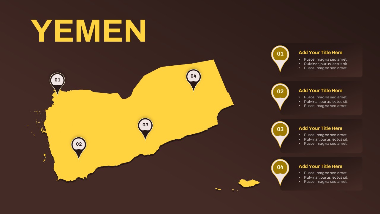
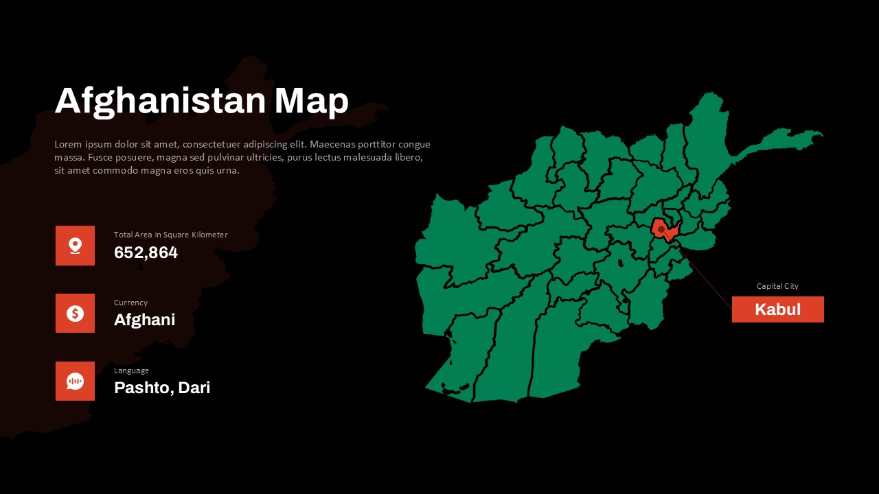
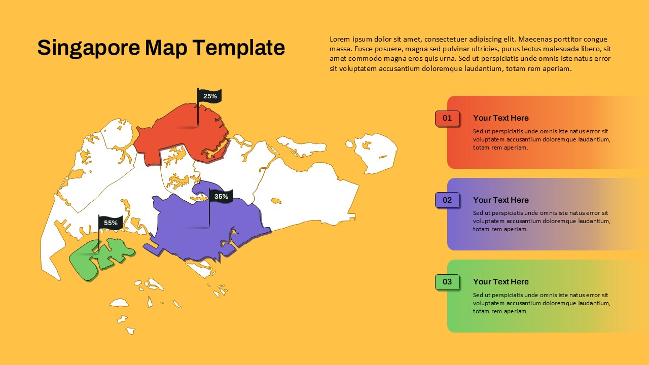
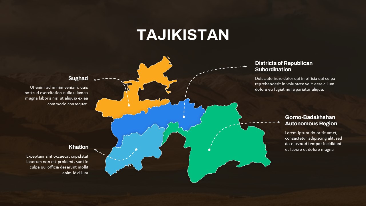
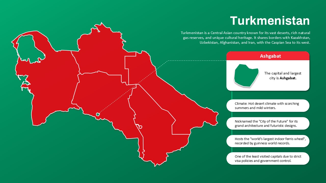
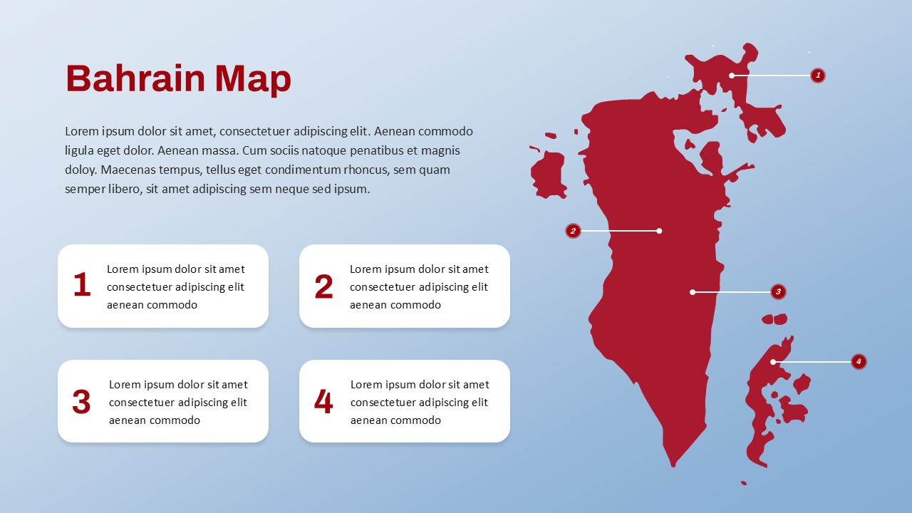
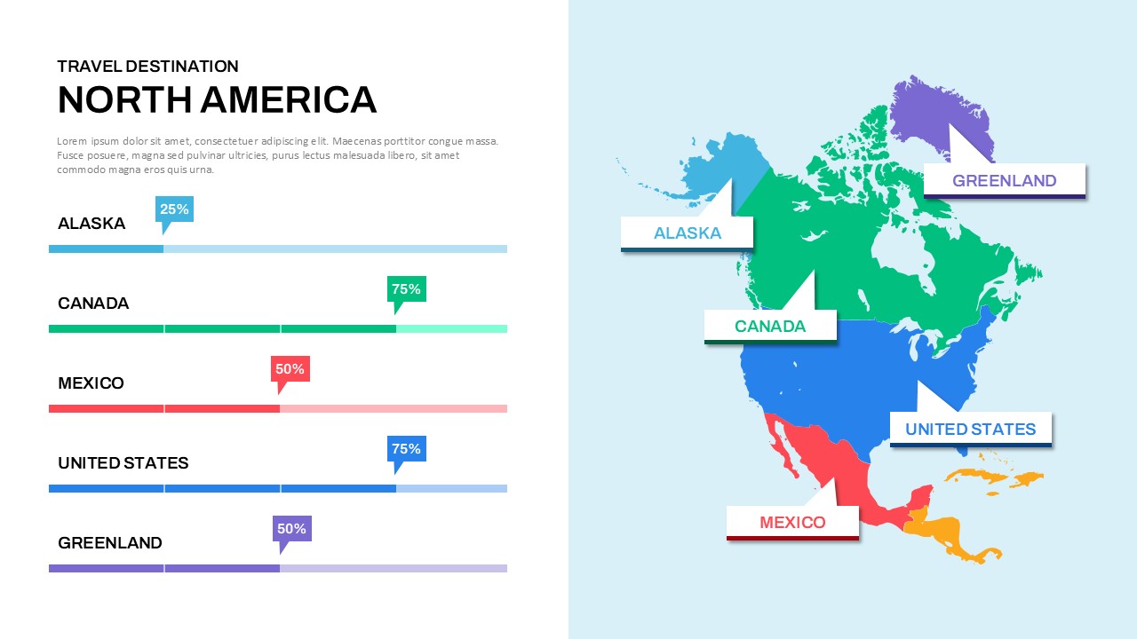
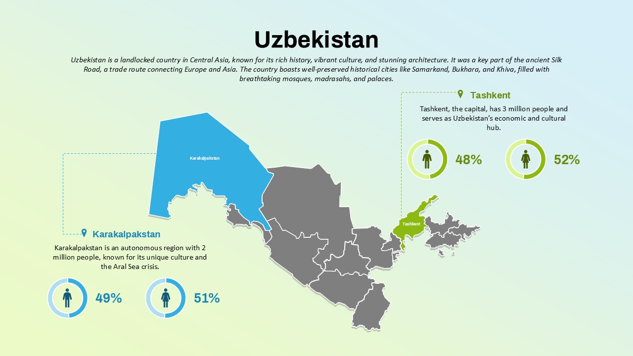
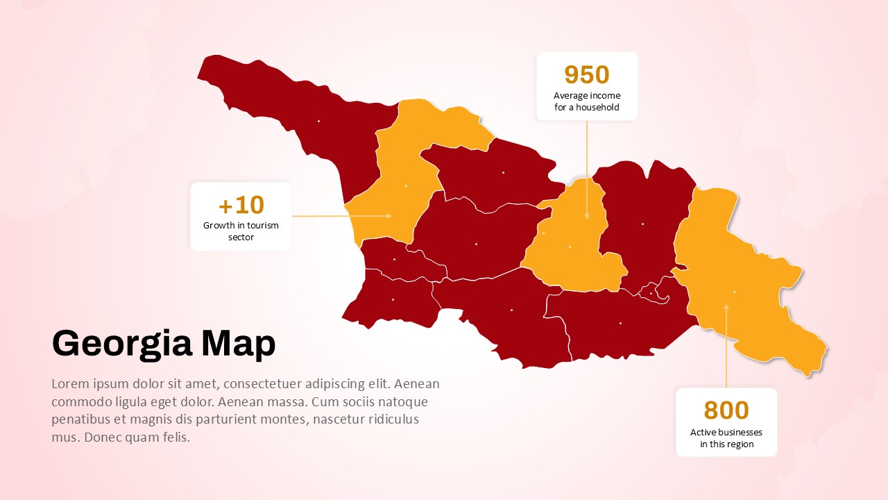
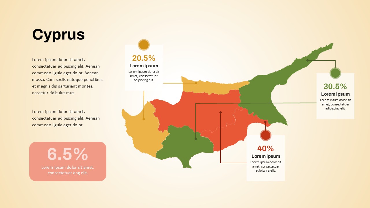
Editable Kyrgyzstan Map Template for PowerPoint & Google Slides
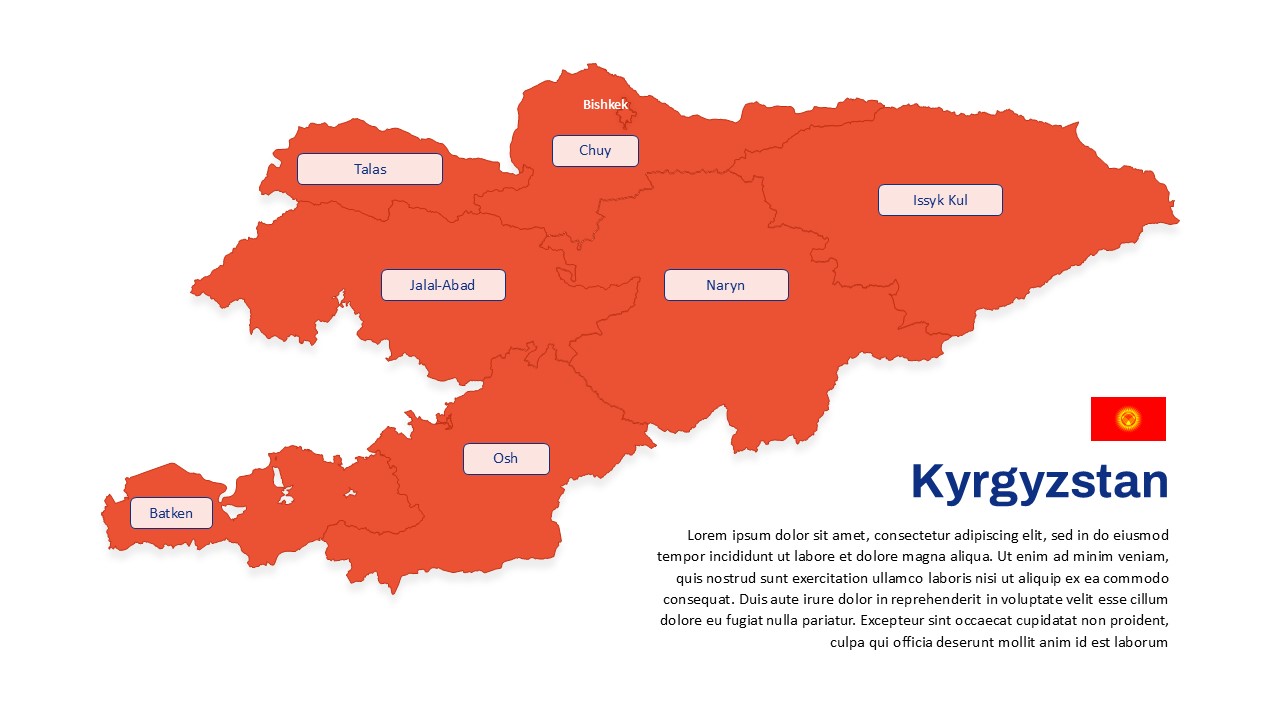
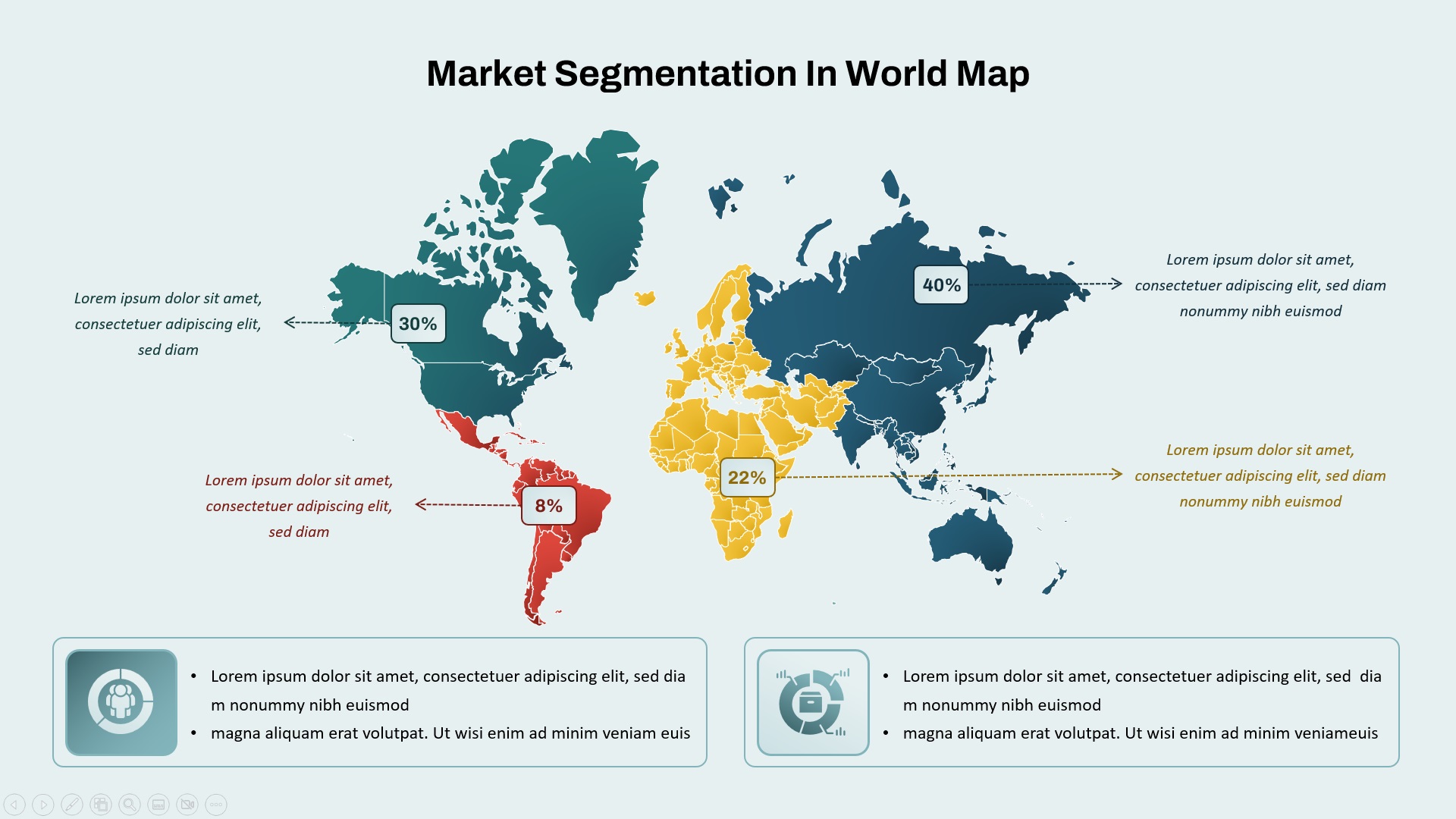
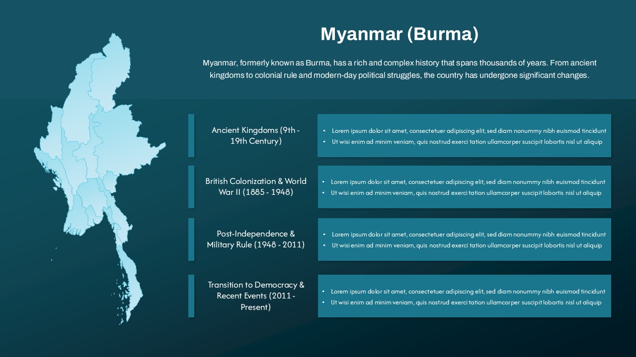
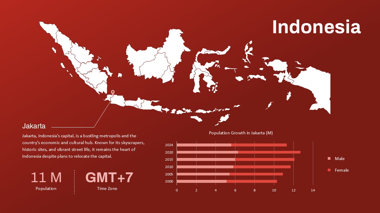
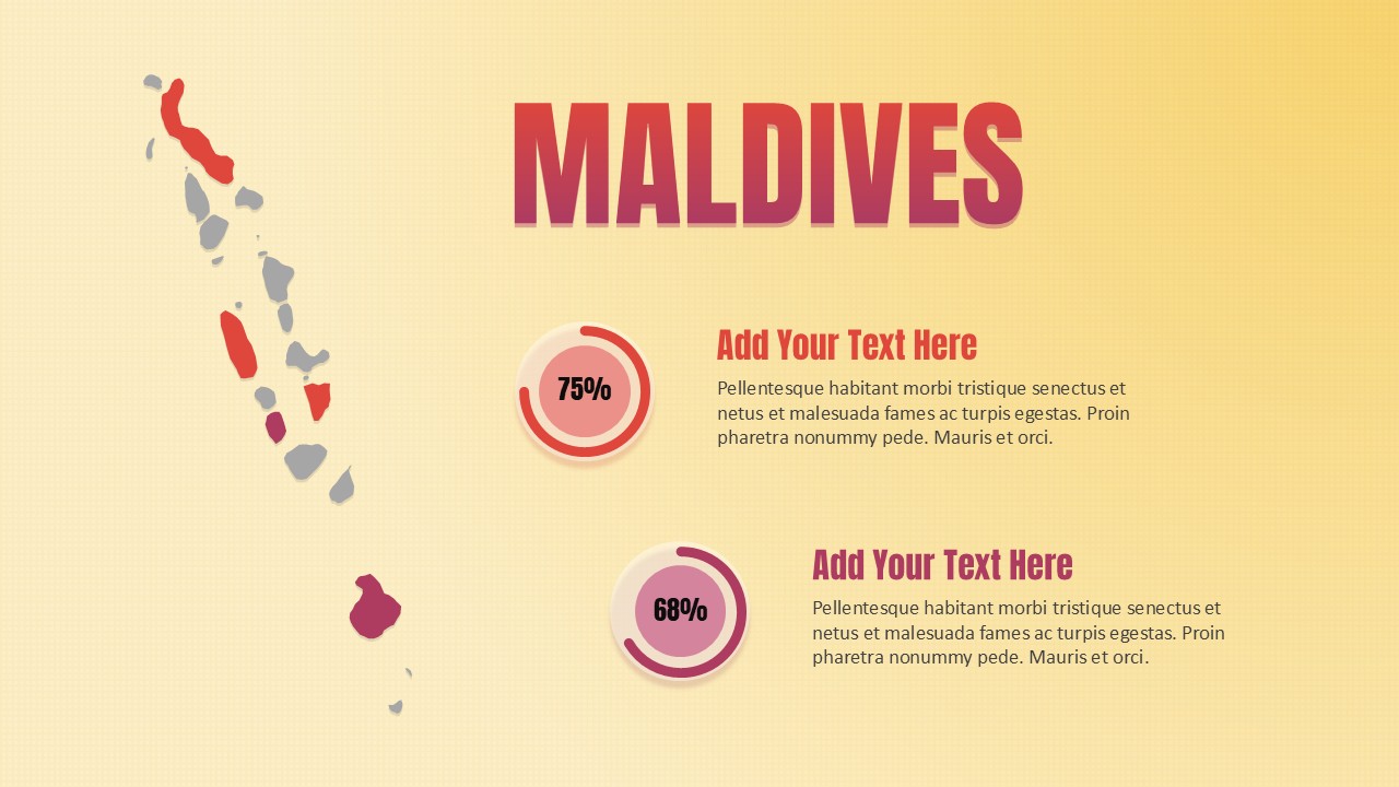
This Kyrgyzstan Map Template offers a clear, professional, and editable visual representation of the country, divided into its primary administrative regions including Bishkek, Osh, Batken, Jalal-Abad, Talas, Chuy, Naryn, and Issyk-Kul. Designed for both PowerPoint and Google Slides, this template is ideal for delivering regional insights, geopolitical analysis, or business strategies specific to Kyrgyzstan.
The map is fully editable, allowing users to customize colors, labels, and markers to suit a range of presentation goals—from demographic breakdowns to economic zone analysis. The minimal yet bold color scheme, complemented by modern text boxes and a national flag element, ensures the design remains clean and visually engaging, drawing attention to the geographic layout without distraction.
Whether you’re a business expanding into Central Asia, an educator illustrating regional geography, or a policy analyst presenting strategic initiatives, this map template is structured to provide clarity and impact. The intuitive layout supports data visualization and storytelling, making it easier to highlight regional trends or compare statistics across provinces.
This template not only saves time but also enhances the professional quality of your presentation, giving you the tools to convey geographic data with precision and visual appeal.
See more

Aspect Ratio
16:9Item ID
SKT03485
Features of this template
Other User Cases of the Template
Market expansion strategy, geopolitical reports, educational geography lessons, logistics planning, tourism analysis, government briefings, demographic presentations, research data visualization, academic presentations, development project planning
FAQs
You May Also Like These Presentation Templates


- Free

- Free

- Free


- Free