Dominican Republic Country Map Template for PowerPoint and Google Slides

You can make your presentations with this Dominican Republic Map PowerPoint Template, designed to accurately represent data, demographics, and regional insights with a clean and modern design. Featuring a color-coded PowerPoint country map of the Dominican Republic, this slide allows users to highlight different regions effectively. The right-hand section includes text placeholders and progress bars, making it ideal for statistical analysis, population distribution, business strategies, or tourism insights.
This template is particularly useful for professionals, researchers, and marketers looking to present geographic and statistical data in a clear and visually engaging manner. With its editable elements, you can customize the colors, labels, and percentage bars to align with your specific data needs. Whether you’re analyzing economic growth, tourism statistics, election results, or regional development, this template offers a versatile and structured way to communicate insights.
Ideal for businesses, educational institutions, or government agencies, this Dominican Republic infographic can be a powerful tool to illustrate data trends, market segmentation, or regional disparities. It works seamlessly with PowerPoint and Google Slides, ensuring easy customization and adaptability.
See more

Aspect Ratio
16:9Item ID
SKT03294
Features of this template
Other Use Cases of the Template:
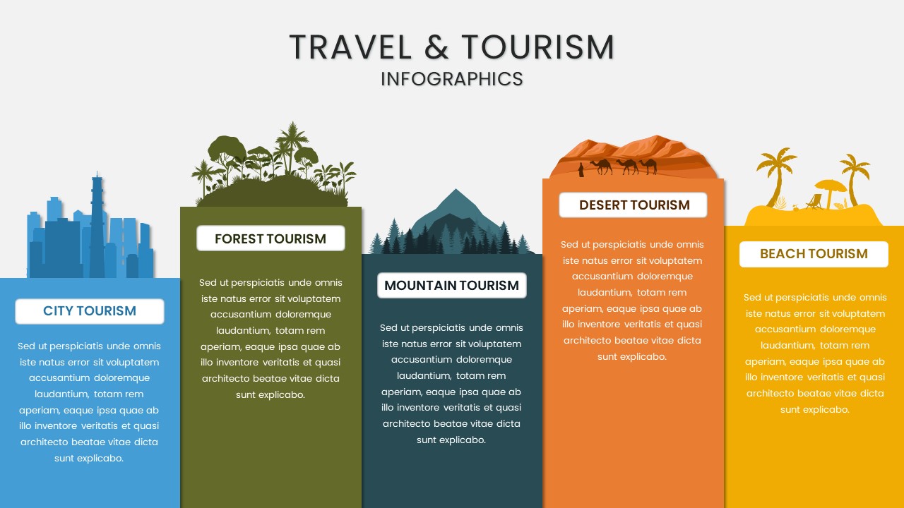
Demographic studies, business expansion reports, tourism statistics, economic analysis, regional marketing strategies, political election insights, urban development planning, educational presentations, research projects.
FAQs
You May Also Like These Presentation Templates


- Free
- Free

- Free


- Free


- Free
- Free
- Free
- Free
- Free