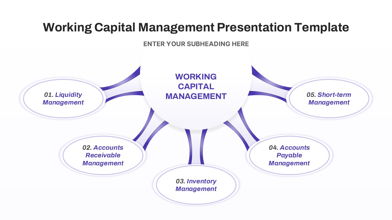
Madagascar Map PowerPoint & Google Slides Template
The Madagascar Map Presentation Template is a visually informative and customizable resource designed for showcasing geographic, climatic, and demographic data about Madagascar. Available in both PowerPoint and Google Slides, this template is ideal for academic presentations, environmental studies, tourism marketing, and international business briefings.
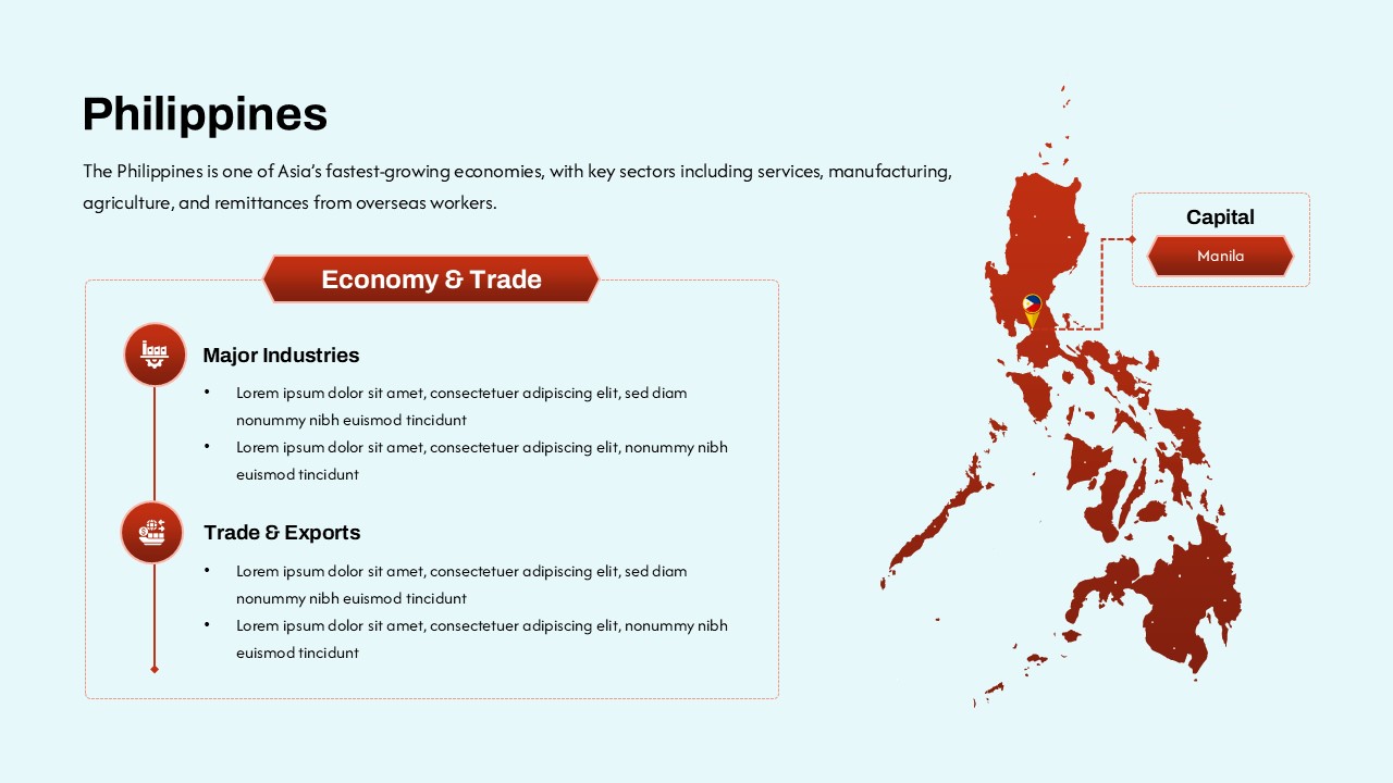
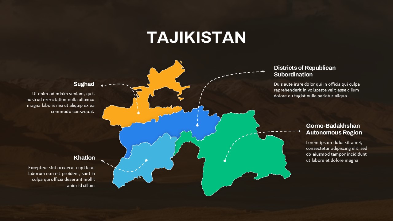
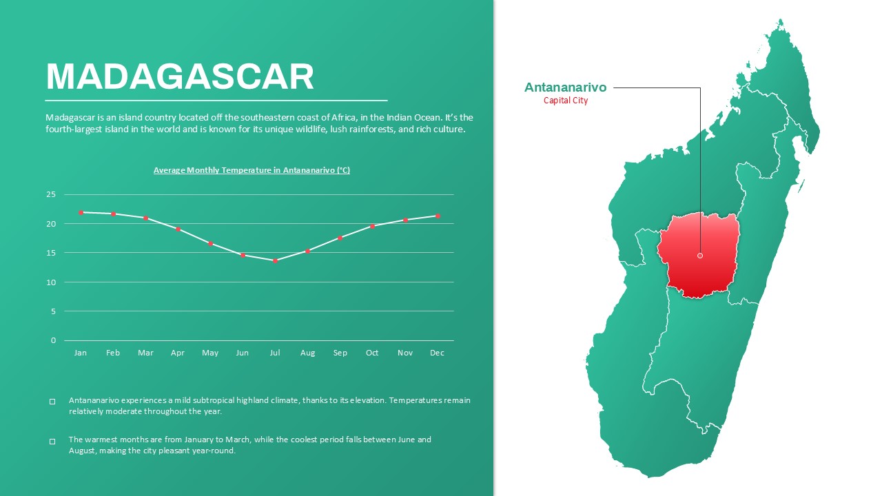
The slide prominently features a detailed map of Madagascar, with a spotlight on Antananarivo, the capital city. The right-hand map visually highlights the location of Antananarivo within the island, while the left panel presents a line chart illustrating average monthly temperatures in the city. This combination of visual data and geographic context makes the template particularly useful for climate presentations or educational insights into Madagascar’s geography and weather patterns.
Additional highlights include:
- Clear labeling of Madagascar’s capital.
- Temperature trends that show seasonal variation.
- Insightful commentary on the region’s mild subtropical highland climate, moderate temperatures, and pleasant year-round conditions.
This Madagascar map PowerPoint template can be used to communicate location-specific data with clarity, making it perfect for NGOs, educators, environmental researchers, or travel consultants. Its modern design and editable elements allow easy adaptation for various use cases and audiences.
See more

Aspect Ratio
16:9Item ID
SKT03711
Features of this template
Other User Cases of the Template
Geography education, climate research, travel and tourism presentations, environmental reports, regional business briefings, academic lectures, international development planning, NGO strategy sessions, demographic analysis, project proposals for Madagascar
FAQs
You May Also Like These Presentation Templates


- Free

- Free
- Free

- Free

- Free
- Free
- Free

- Free

- Free
- Free
- Free
- Free