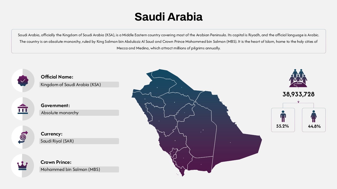
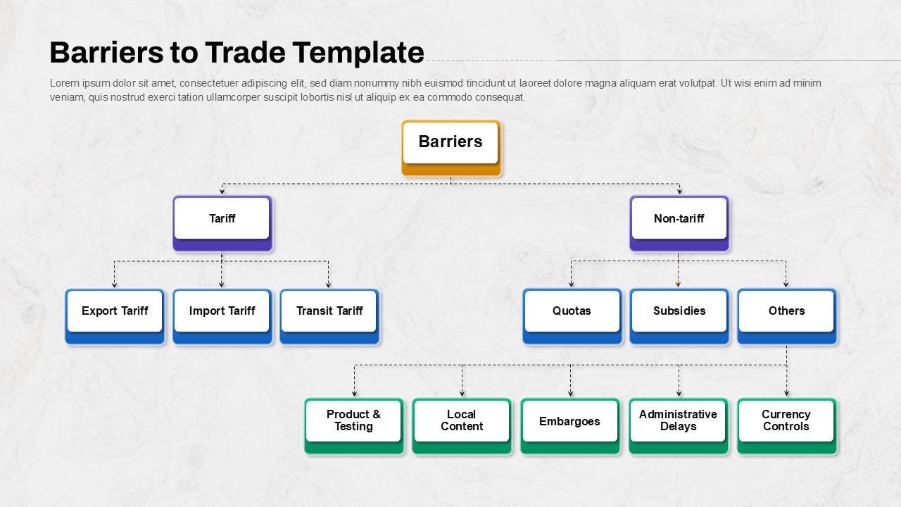
Kuwait Map PowerPoint Template
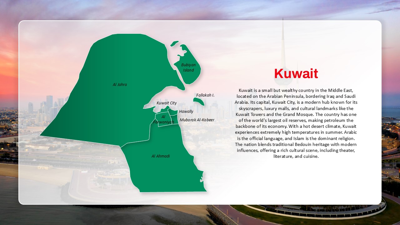
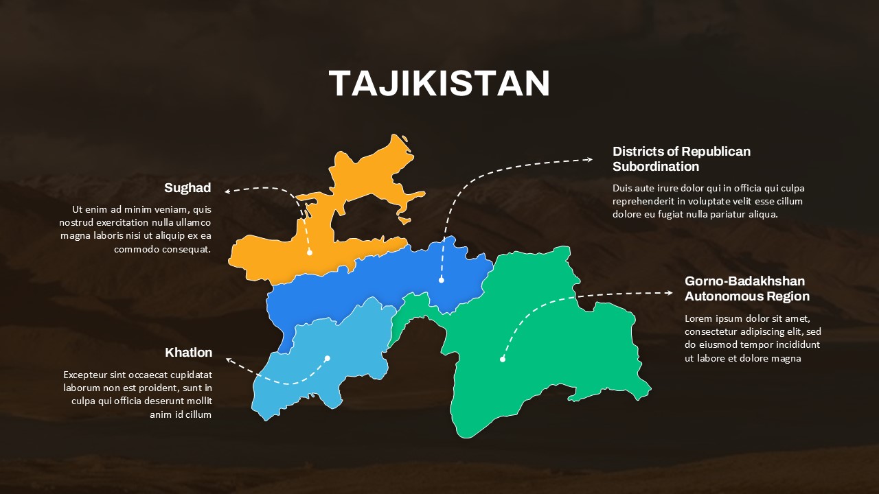
The Kuwait Map and Country Overview Presentation Template is an informative and visually engaging resource, ideal for educators, business professionals, and researchers presenting on Kuwait’s geography, economy, or culture. Featuring a detailed map highlighting key regions such as Al Jahra, Al Ahmadi, Hawally, and Kuwait City, this template also offers contextual insights into the nation’s socio-economic and cultural dynamics.
The accompanying descriptive section gives a concise narrative of Kuwait’s strategic location on the Arabian Peninsula, bordering Iraq and Saudi Arabia. It emphasizes Kuwait’s economic strength rooted in its vast oil reserves and its transformation into a modern metropolis. From luxury shopping and architectural marvels like the Kuwait Towers to traditional Bedouin influences, this template paints a comprehensive picture of Kuwait’s dual identity—modern yet culturally rich.
This slide is perfect for those looking to showcase Kuwait in geopolitical, educational, or commercial contexts. It can support reports on Middle Eastern markets, cross-cultural business training, or academic overviews. The map component adds geographic clarity, while the text enhances understanding of Kuwait’s demographic and economic landscape.
With its clean layout and high-quality visuals, this template serves as a powerful communication tool for professionals needing to present nuanced information about Kuwait in an accessible format.
See more

Aspect Ratio
16:9Item ID
SKT03565
Features of this template
Other User Cases of the Template
Geopolitical presentations, Middle East business briefings, Educational geography lessons, Oil industry market analysis, International relations lectures, Cultural diversity training, Regional investment pitches, Tourism industry reports, Economic development plans, Global studies coursework
FAQs
You May Also Like These Presentation Templates

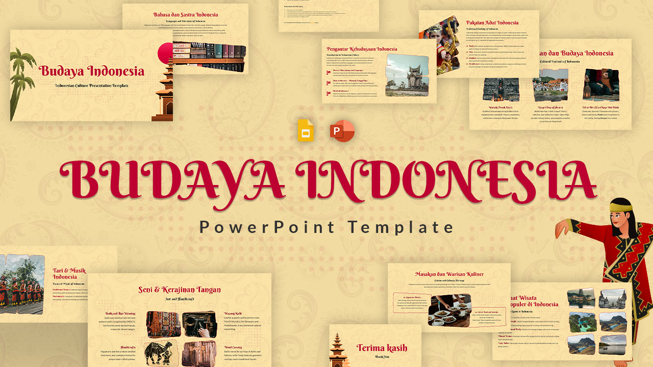
- Free


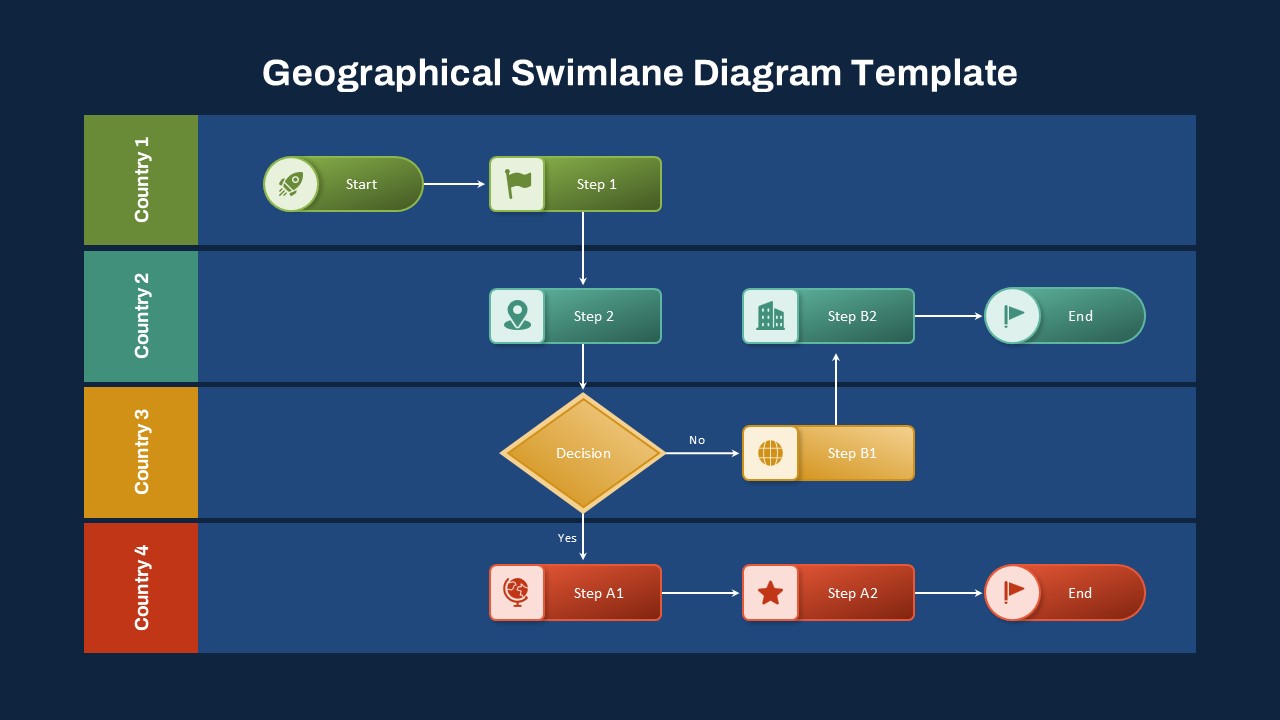
- Free

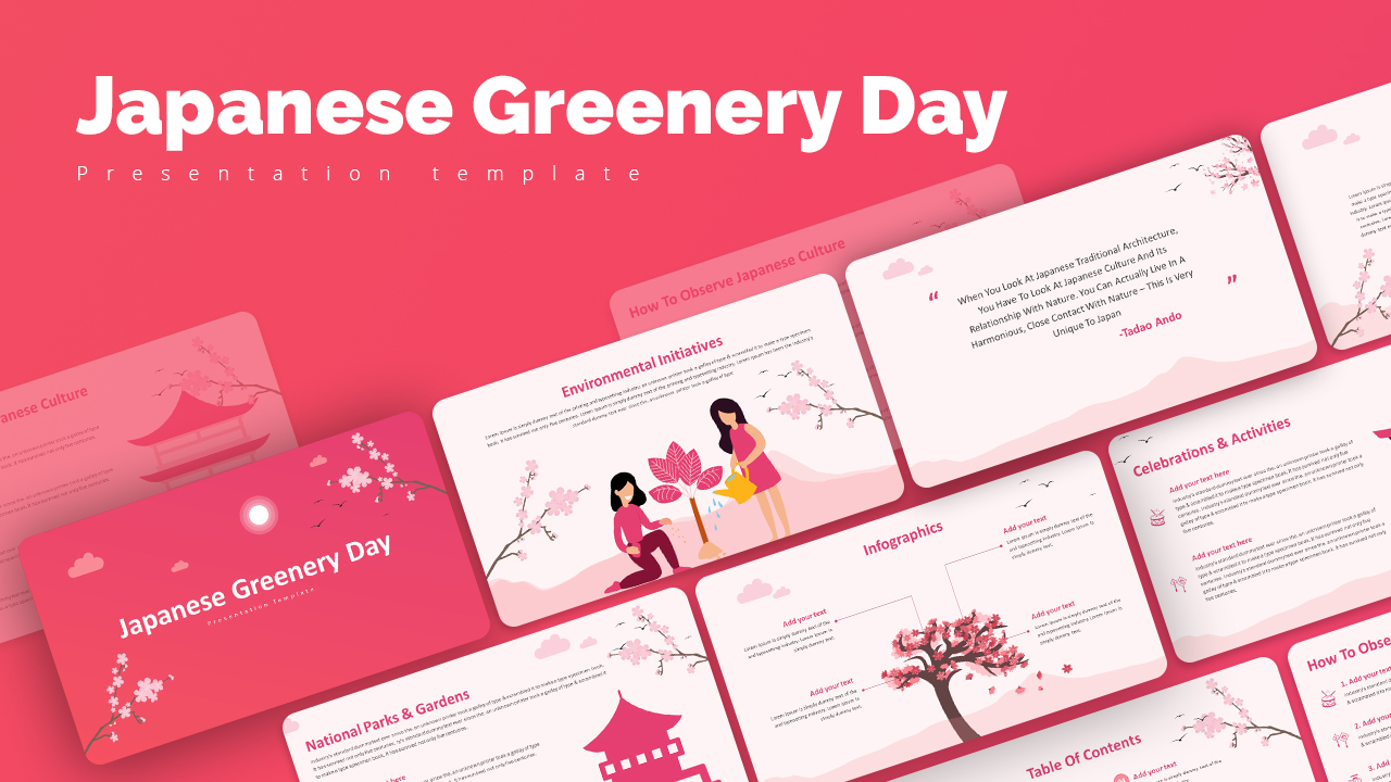
- Free
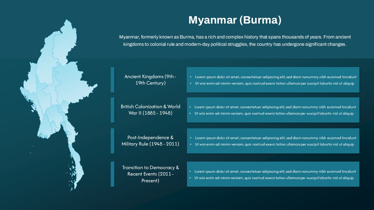
- Free
- Free
- Free
- Free
- Free
- Free
- Free
- Free
- Free
- Free
- Free

- Free
- Free
- Free
- Free
- Free
- Free