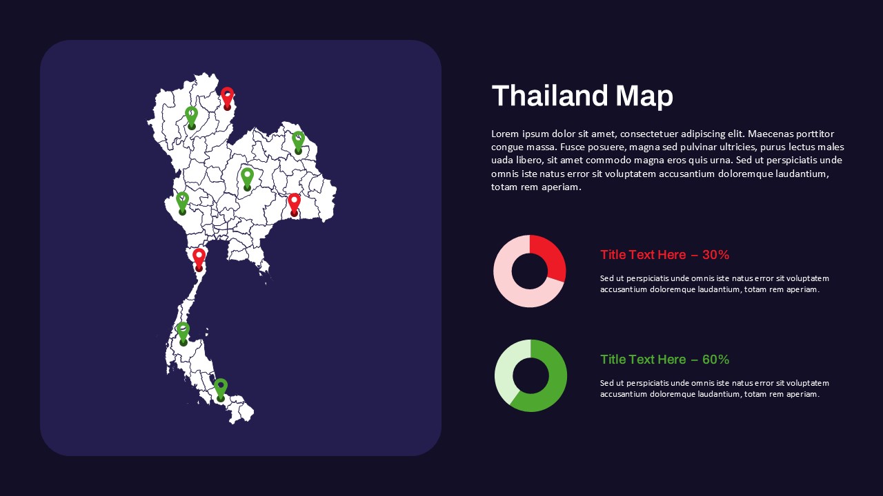
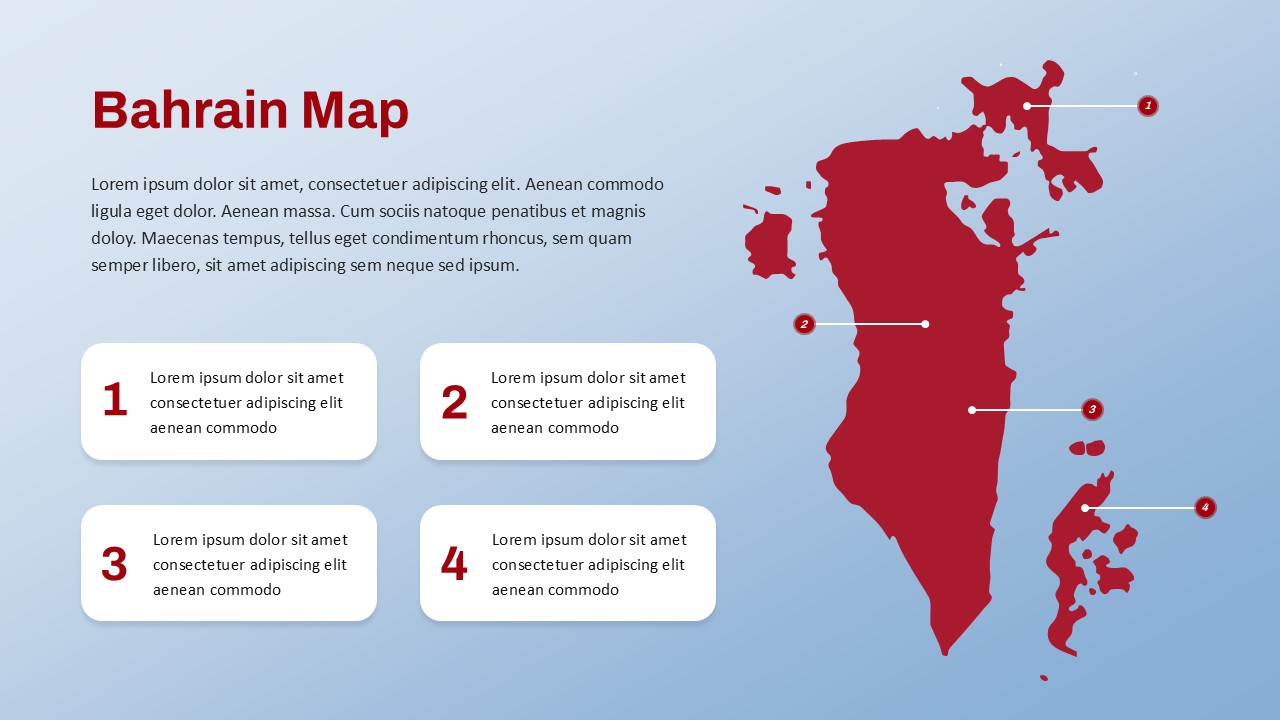
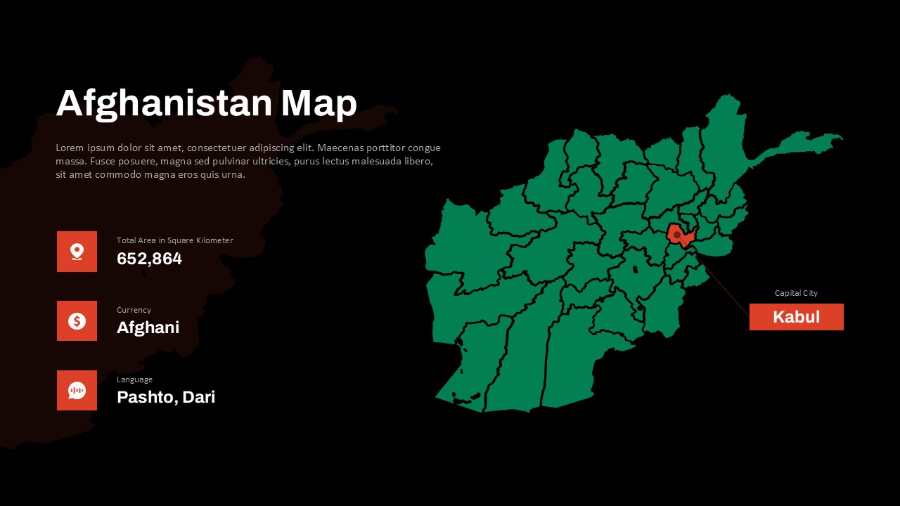
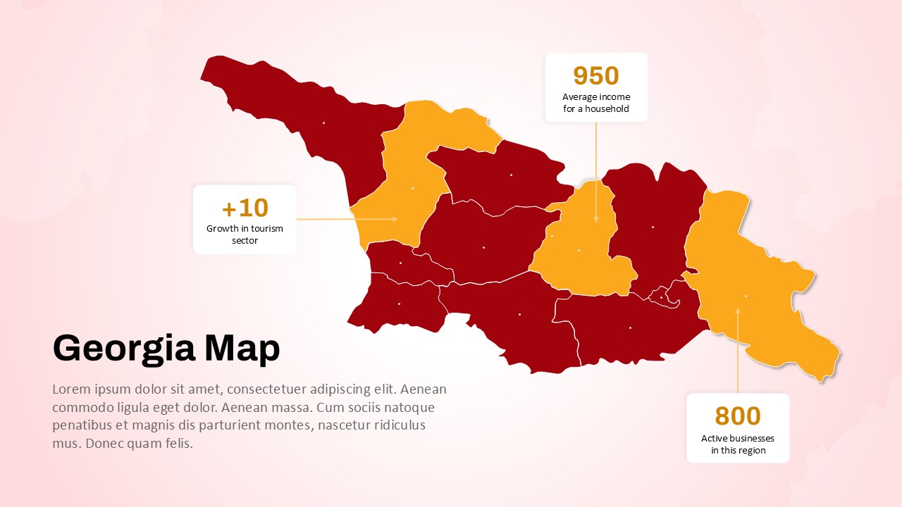
Iran PowerPoint Map Template
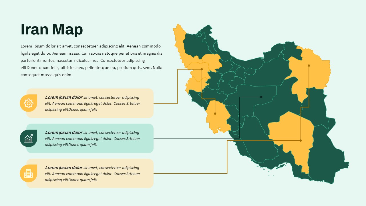
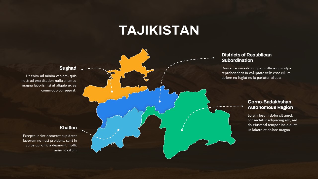
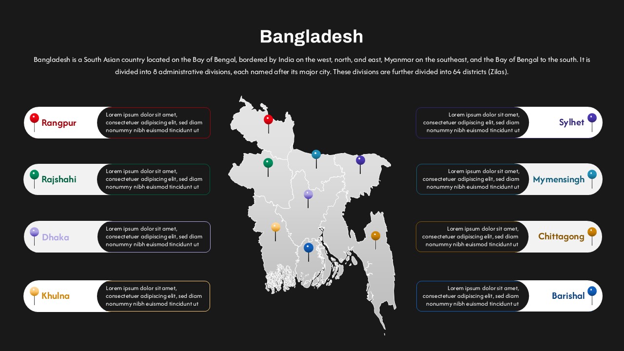
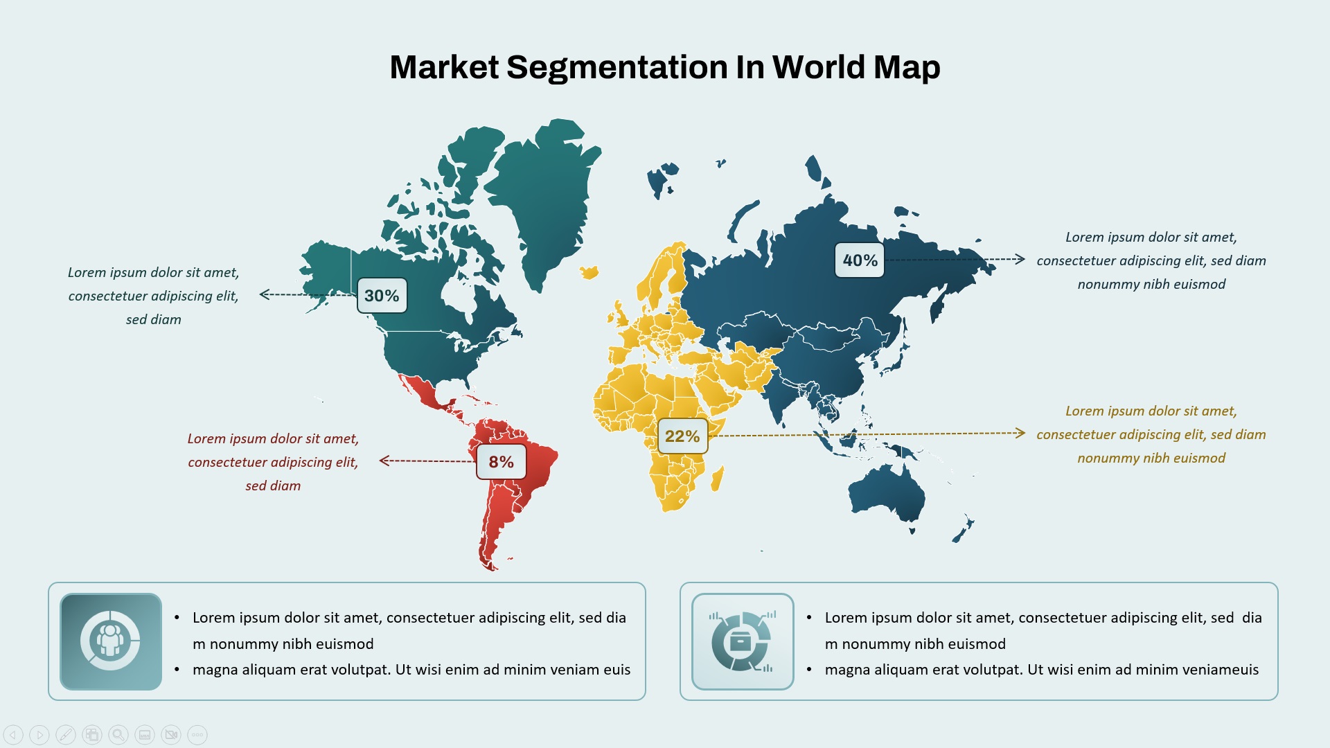
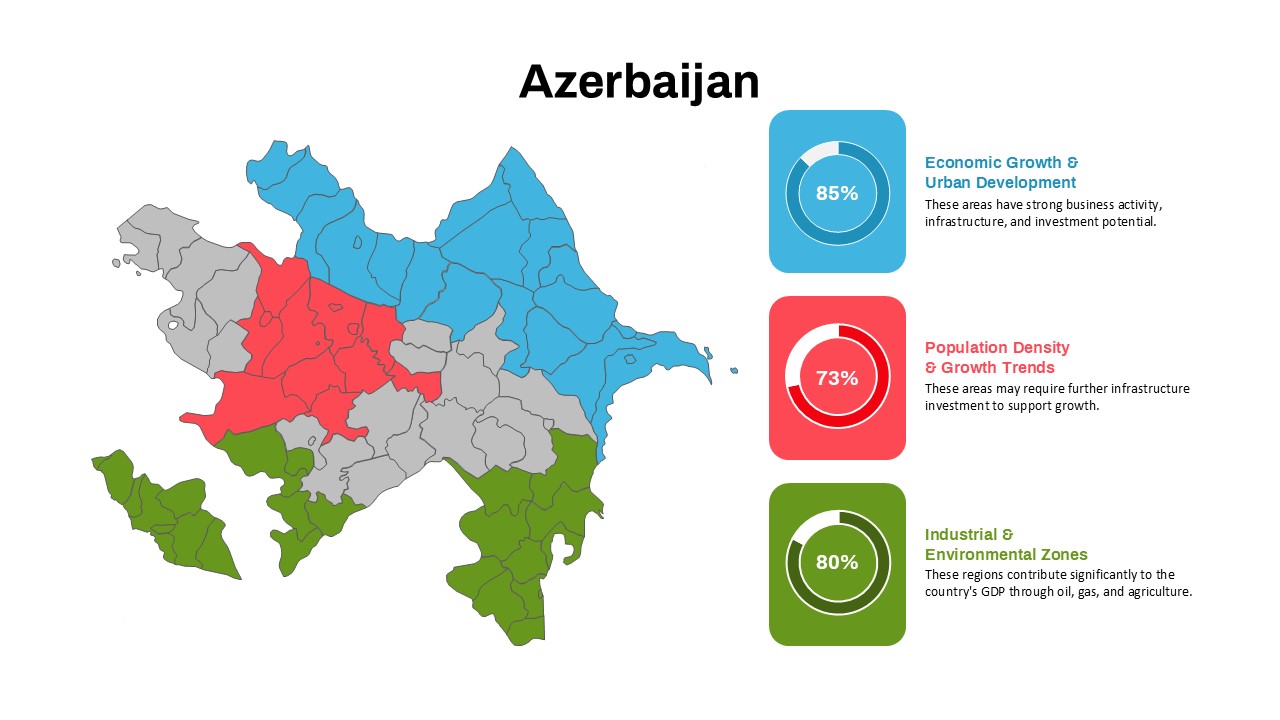
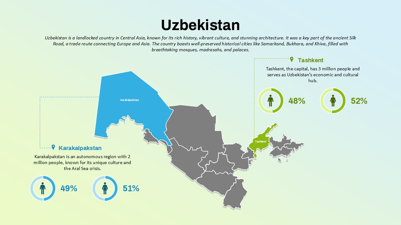
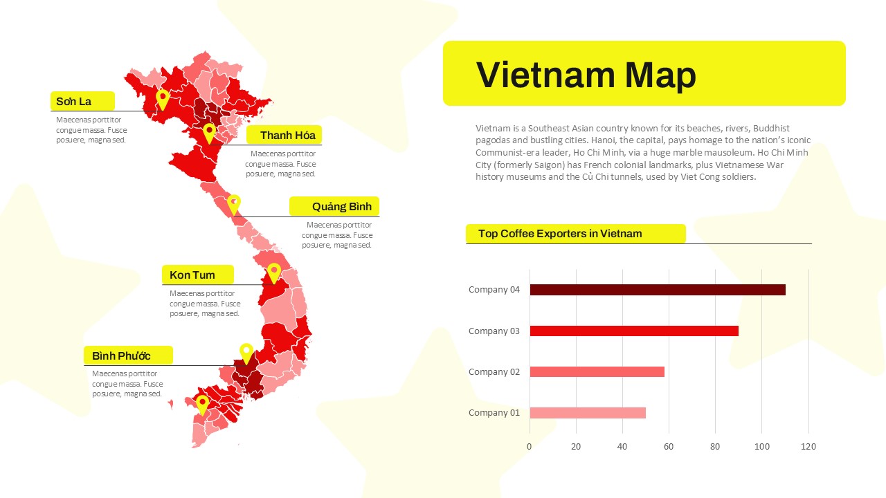
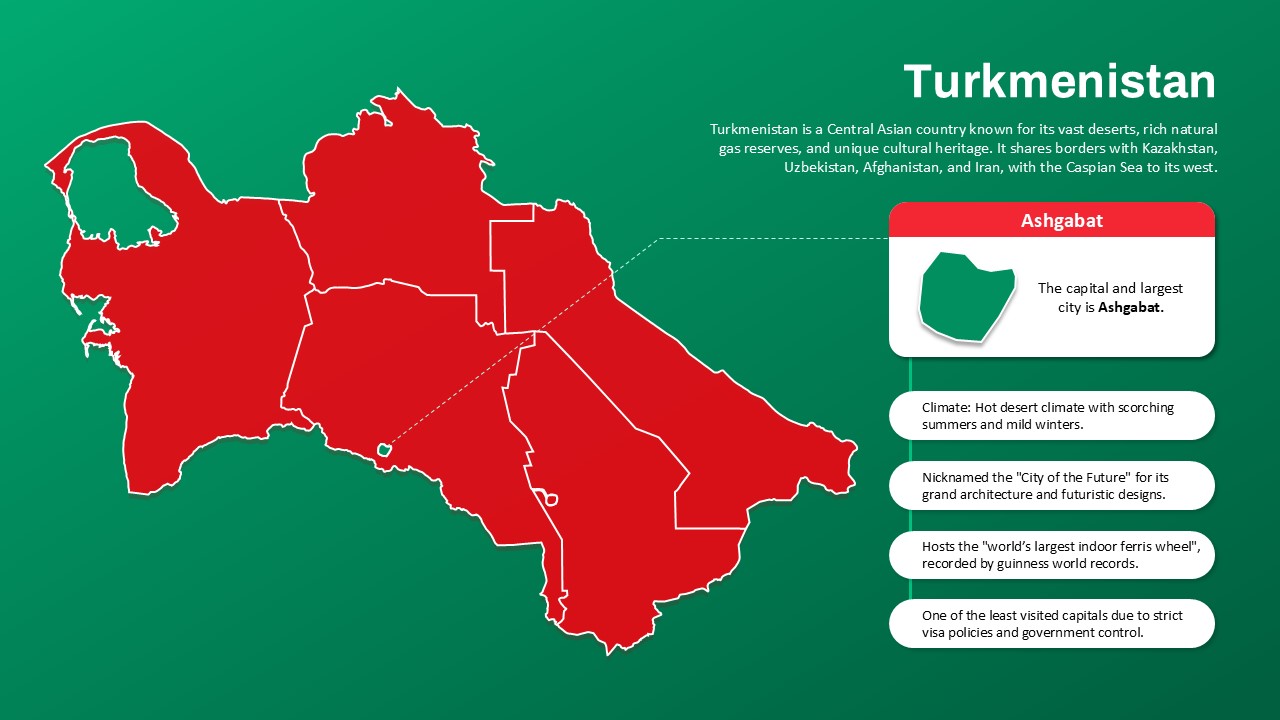
This Interactive Iran Map template offers a visually appealing and highly functional way to present geographic and statistical data related to Iran. The map for powerpoint divides the country into various regions, each highlighted in different colors for a clear, easy-to-understand view. Customizable information boxes can be added to each region, making it ideal for sharing key statistics, insights, or detailed descriptions. Whether you’re presenting information about regional developments, economic growth, or geopolitical factors, this map template can support your narrative by visually representing complex data in an organized manner.
The map on powerpoint template’s versatile design allows you to incorporate a range of content, including text, images, and even icons, ensuring a dynamic presentation. Its clean, modern layout supports professional communications, whether you are preparing a business presentation, educational lecture, or government-related analysis. By linking data directly to specific geographical regions, the map enhances the audience’s understanding and engagement.
For professionals in industries such as political analysis, business development, education, or consulting, this template is a valuable tool to effectively communicate regional differences and trends.
See more

Aspect Ratio
16:9Item ID
SKT03555
Features of this template
FAQs
You May Also Like These Presentation Templates


- Free
- Free

- Free

- Free

- Free
- Free
- Free
- Free

- Free
- Free
- Free