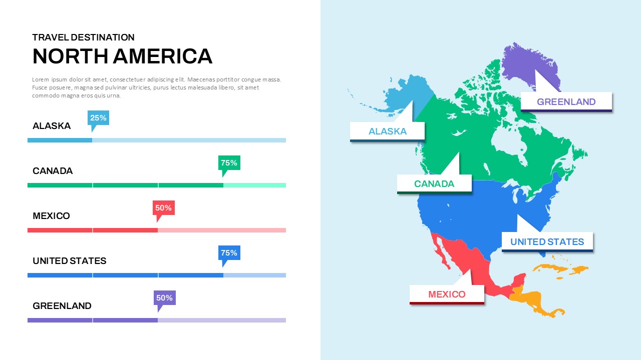
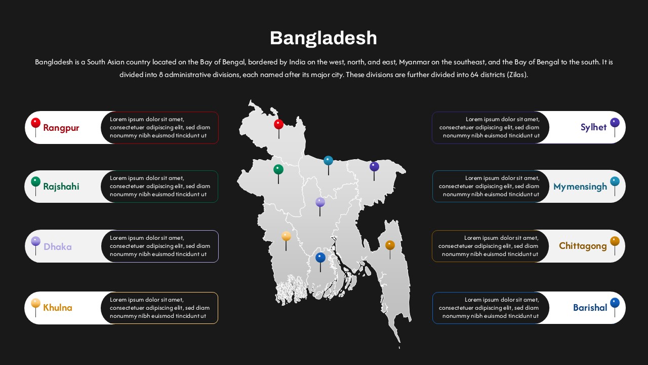
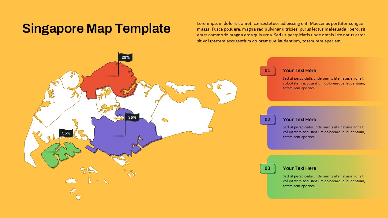
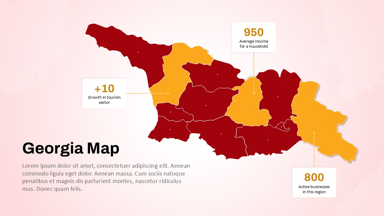
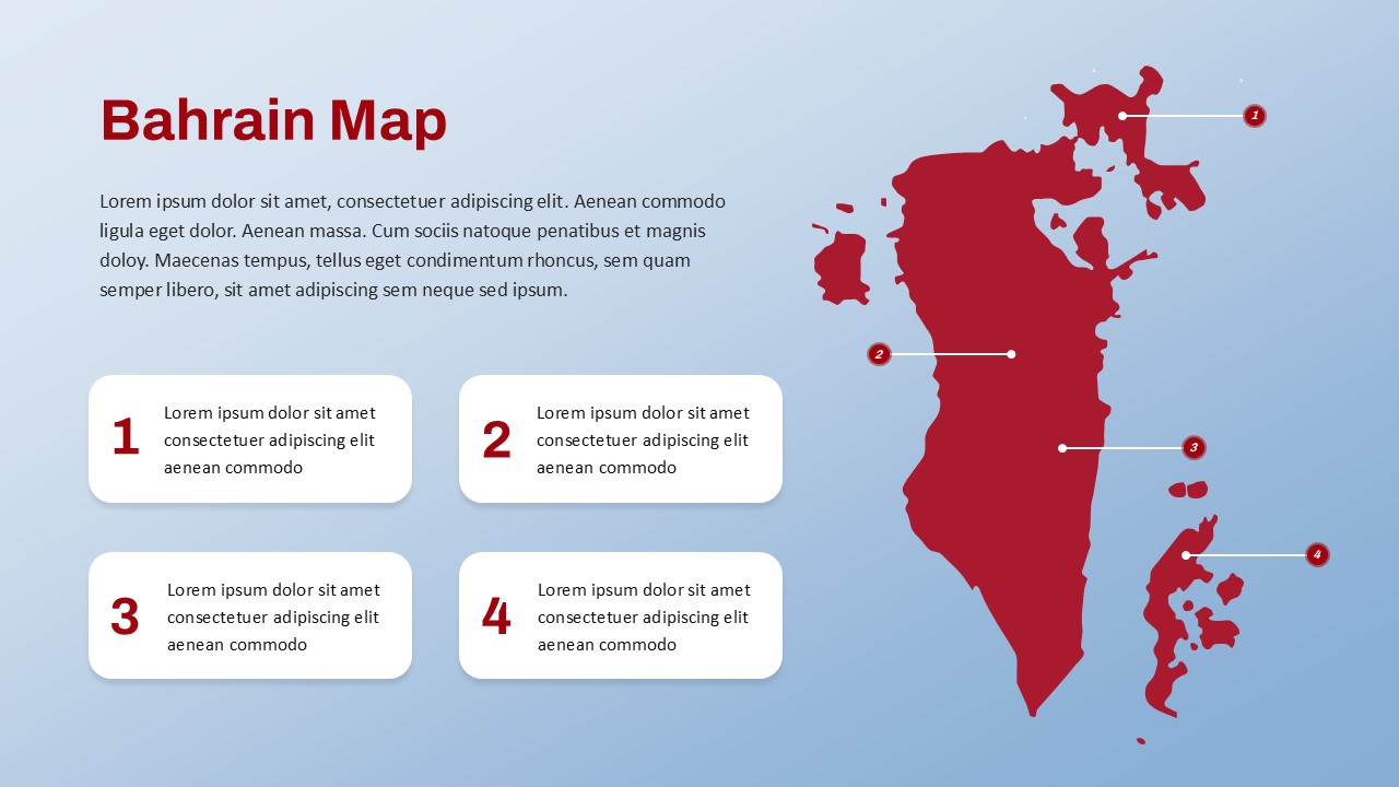
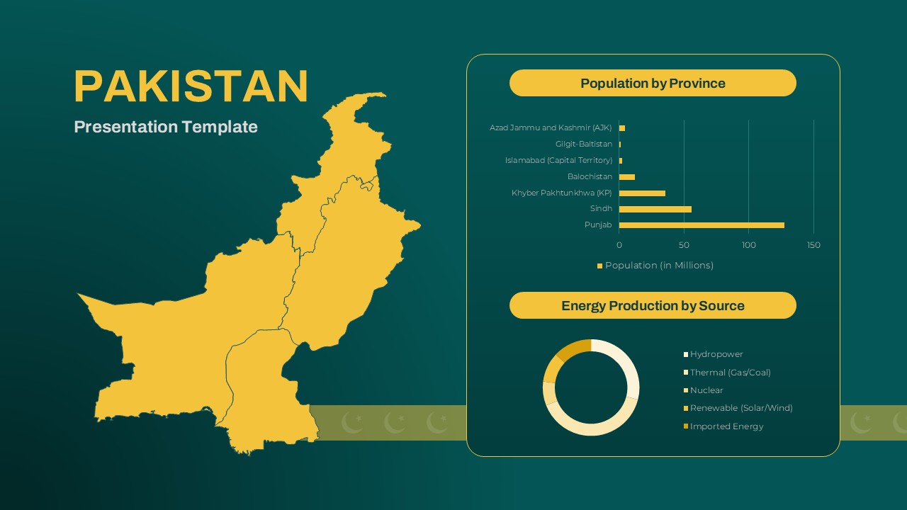
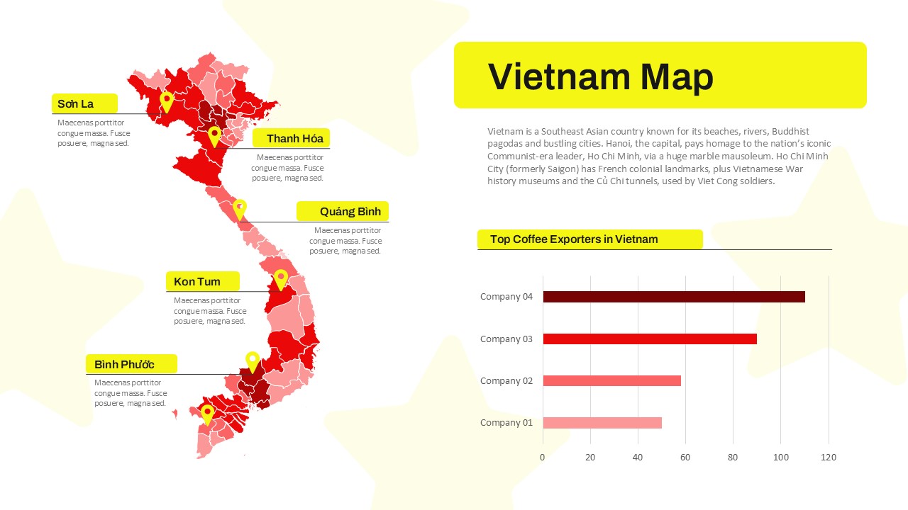
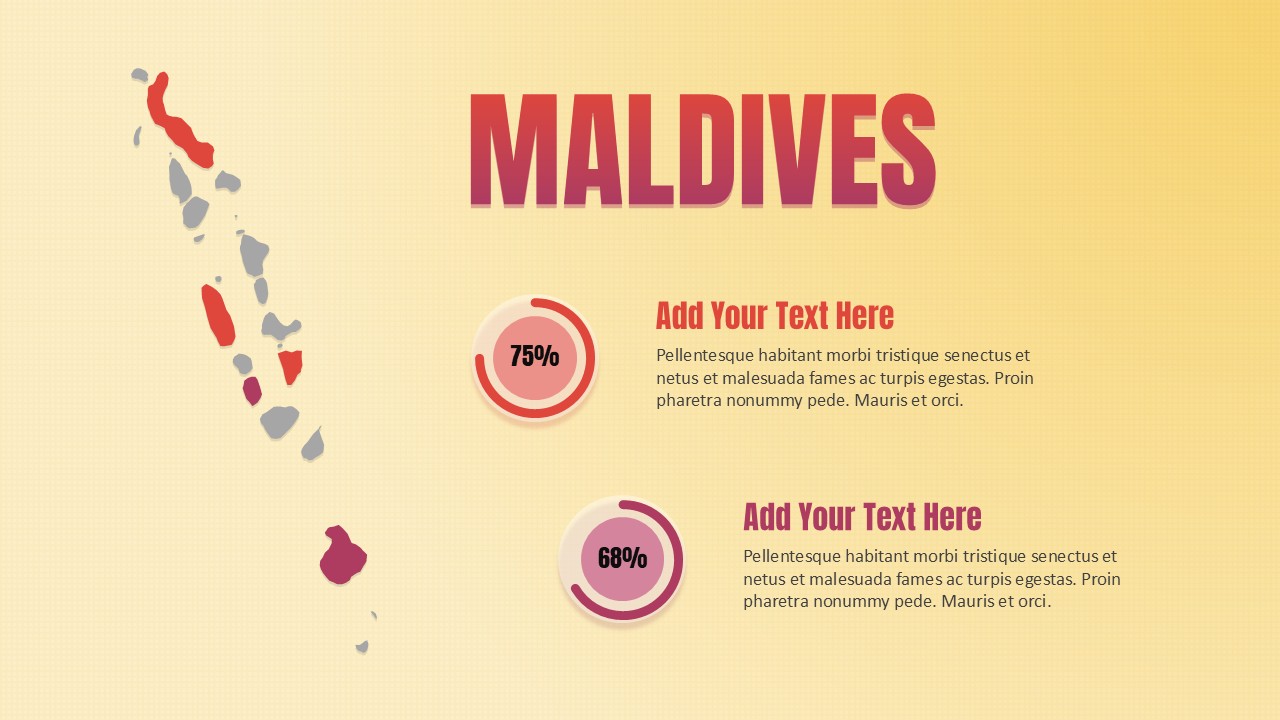
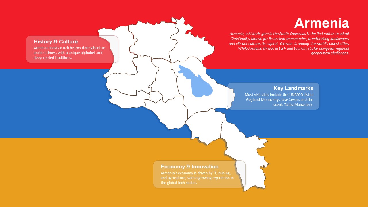
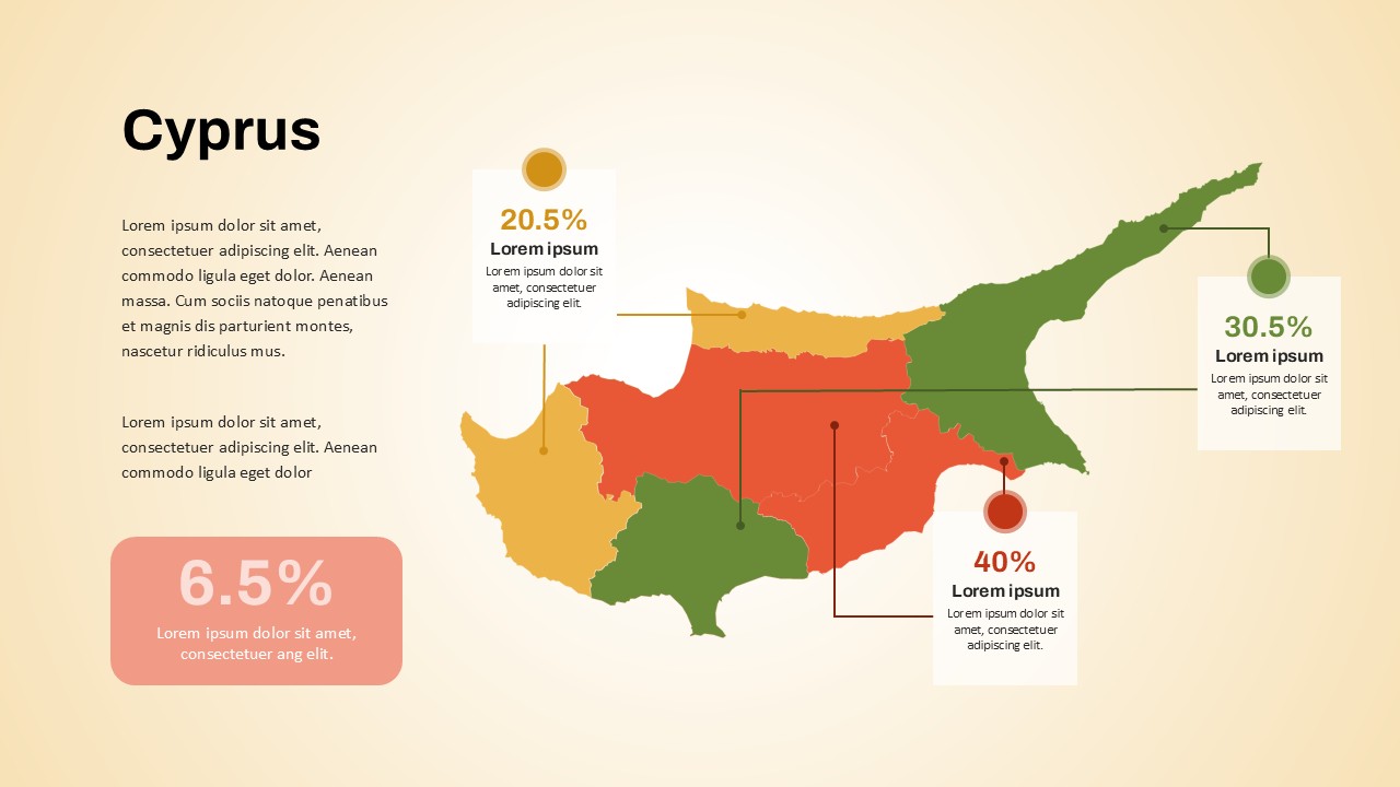
Nepal Map PowerPoint Template
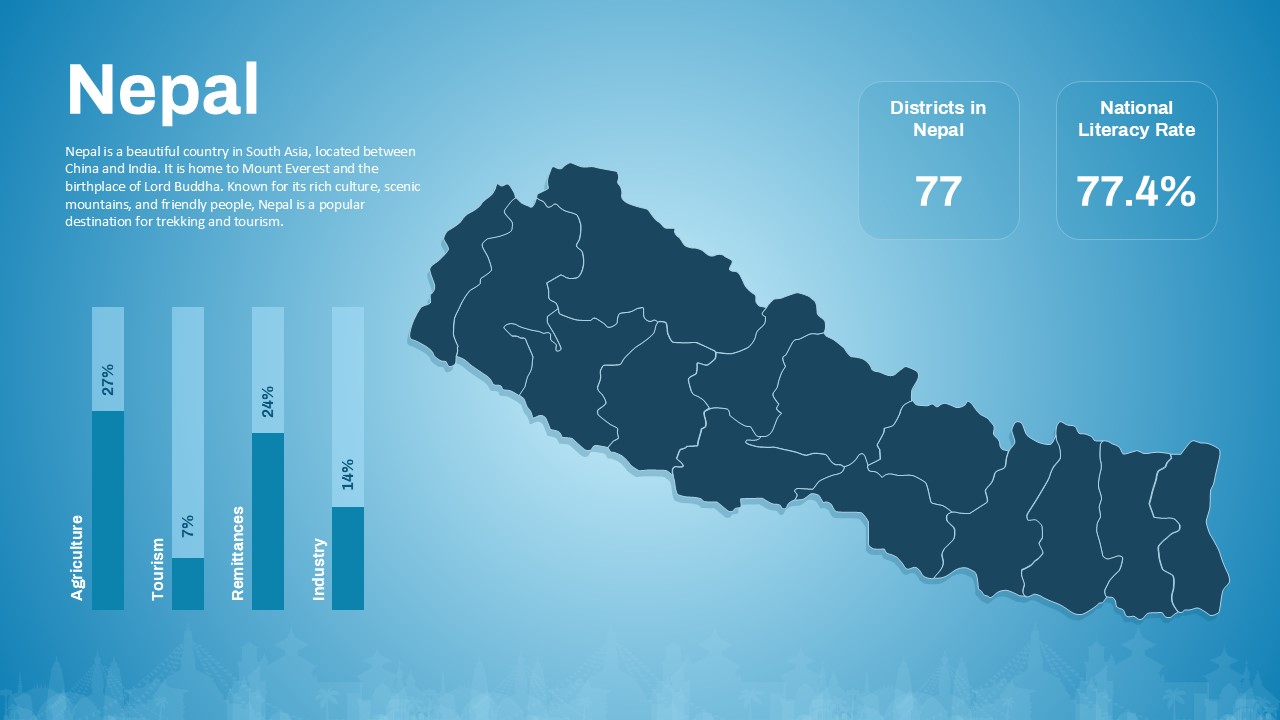
This nepal map PowerPoint template offers a clean and professional design to showcase essential geographic, economic, and demographic data about Nepal. Featuring a detailed map of the country with its districts, the template highlights key statistics such as the number of districts (77) and the national literacy rate (77.4%), providing valuable insights at a glance. The template incorporates simple yet effective bar charts to represent the country’s economic sectors, including agriculture, tourism, remittances, and industry, helping to communicate Nepal’s economic landscape clearly.
Designed for versatility, this template is ideal for educational presentations, government reports, tourism proposals, or business analyses focusing on Nepal. The balanced layout, combined with subtle background elements that reflect Nepalese culture, enhances the storytelling without overwhelming the content. It supports both PowerPoint and Google Slides, ensuring easy customization and accessibility for a wide range of users.
Whether you are an educator introducing Nepal’s geography and economy, a researcher presenting socio-economic data, or a tourism professional highlighting travel opportunities, this template provides a polished framework to engage your audience effectively.
See more

Aspect Ratio
16:9Item ID
SKT03550
Features of this template
Other User Cases of the Template
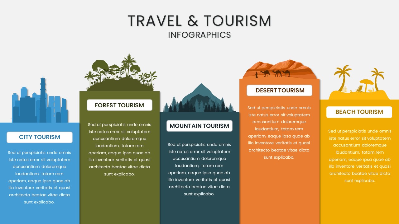
Educational presentations, government reports, tourism marketing, business analyses, socio-economic research, travel proposals, cultural studies, geography lessons, international development projects
FAQs
You May Also Like These Presentation Templates


- Free
- Free

- Free


- Free

- Free

- Free