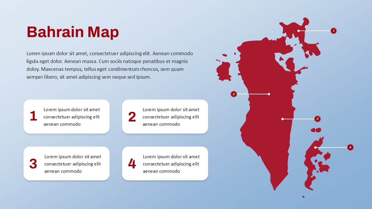
Mauritius Map PowerPoint Template
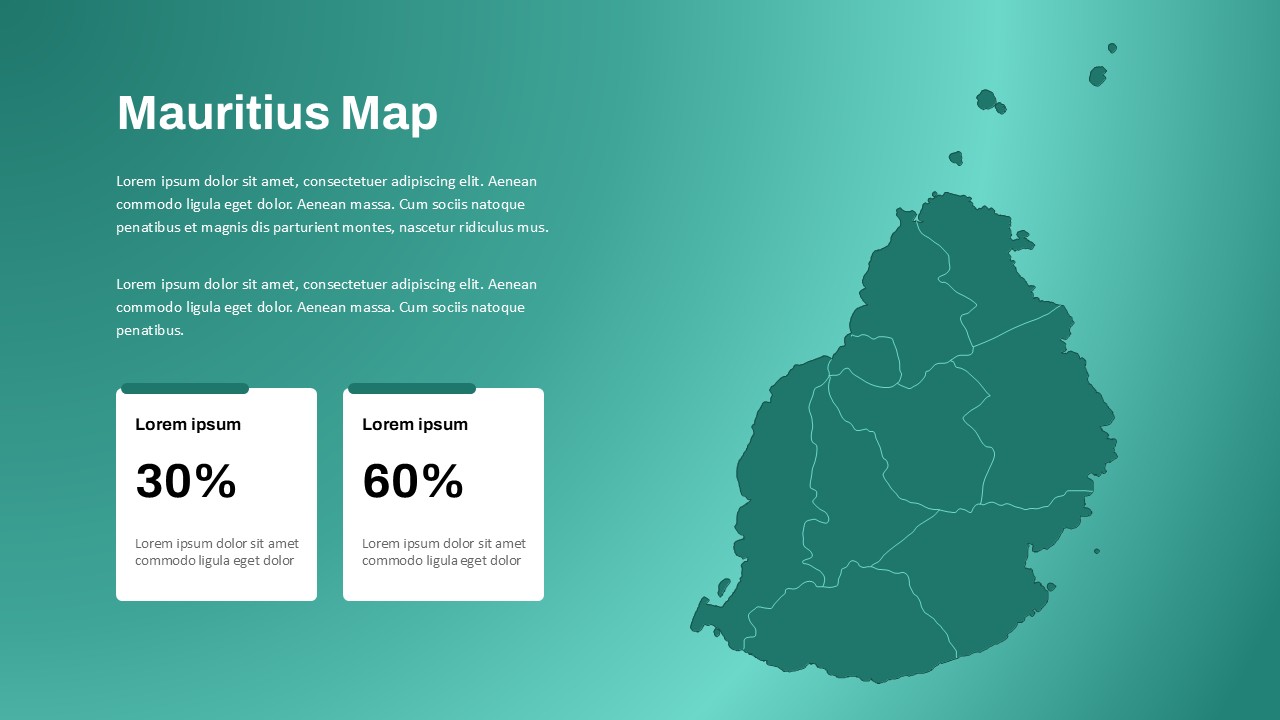
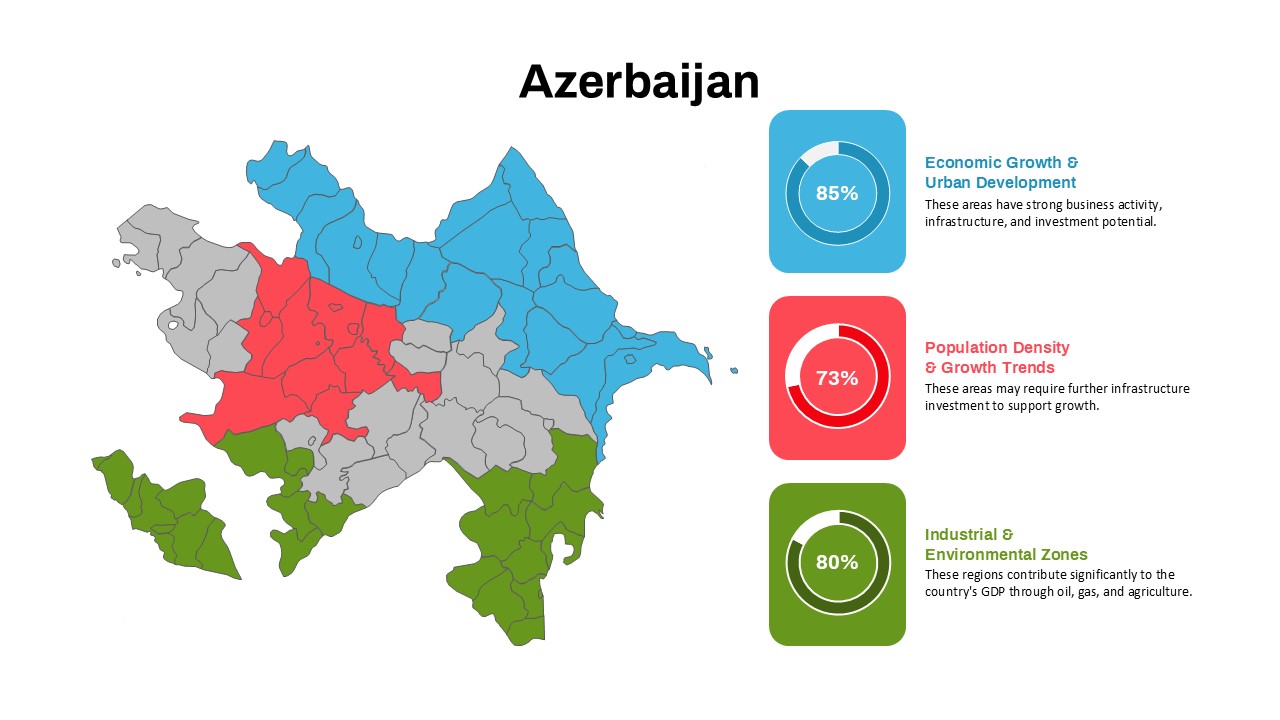
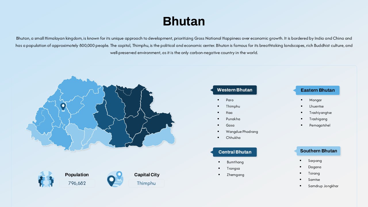
The Mauritius Map PowerPoint Template offers a professional and visually appealing way to highlight key data related to the island nation of Mauritius. This customizable map powerpoint template includes a map of Mauritius, along with space to showcase specific regional statistics or information.
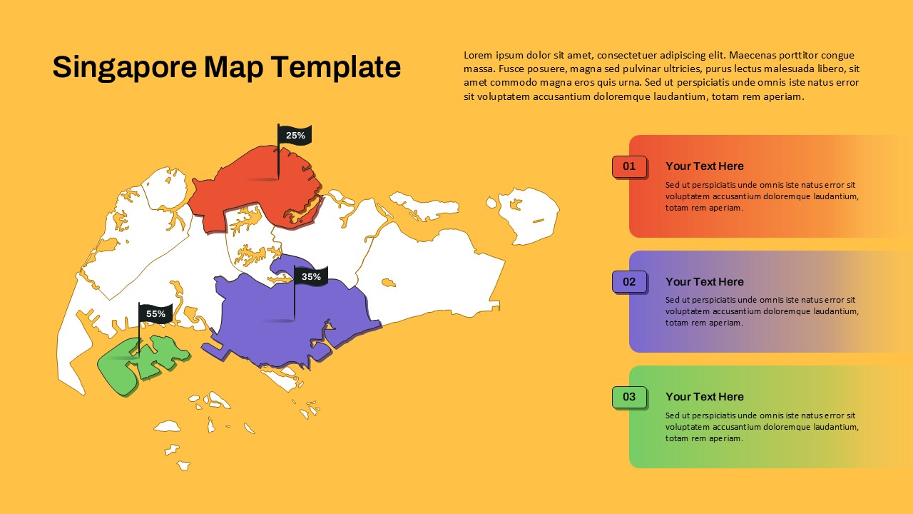
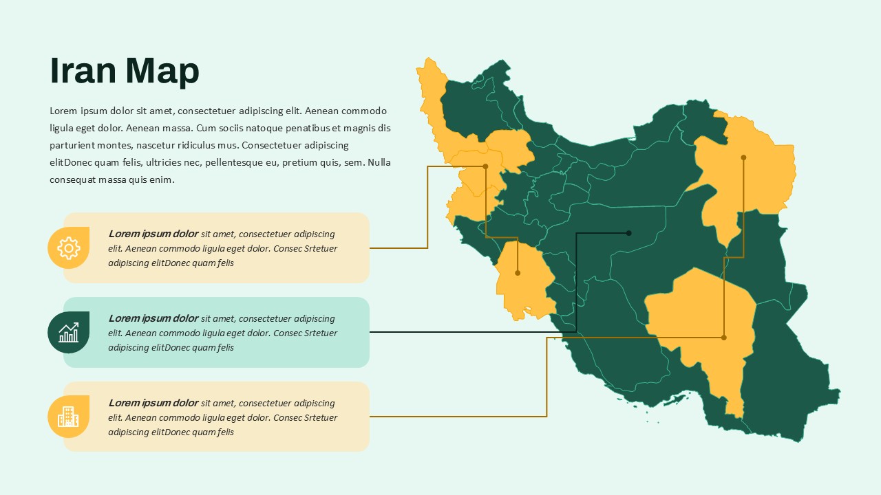
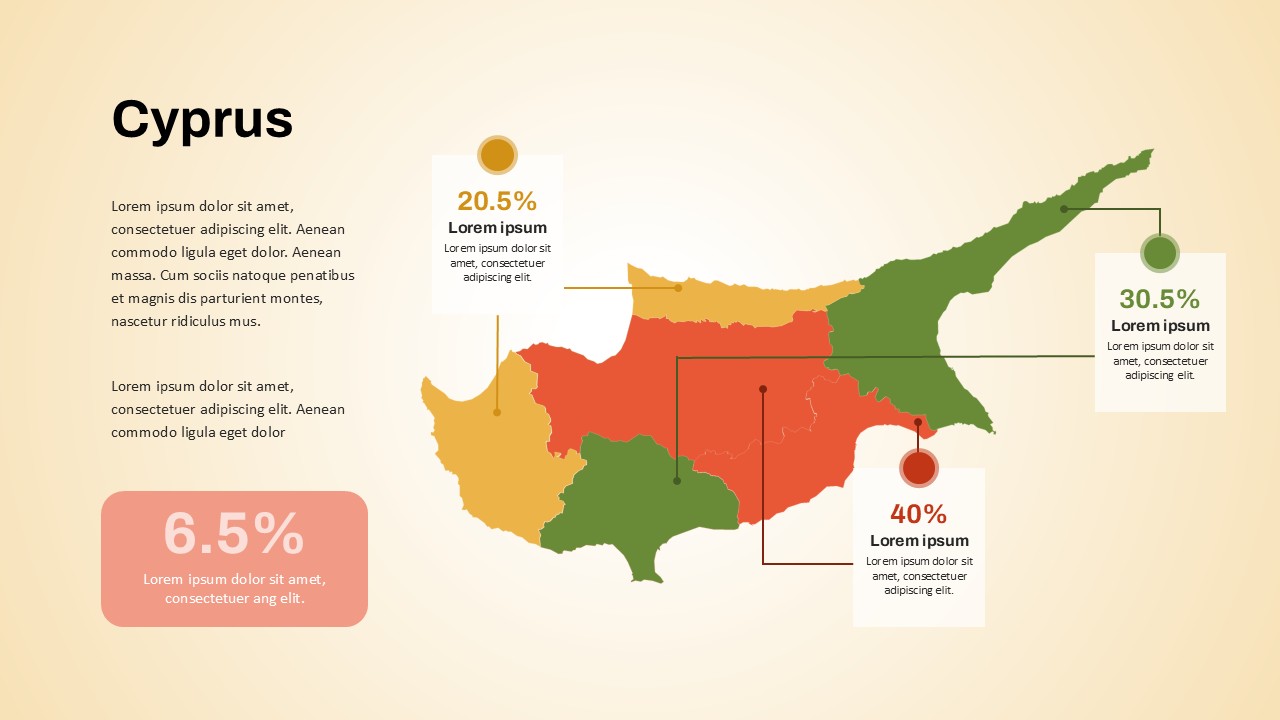
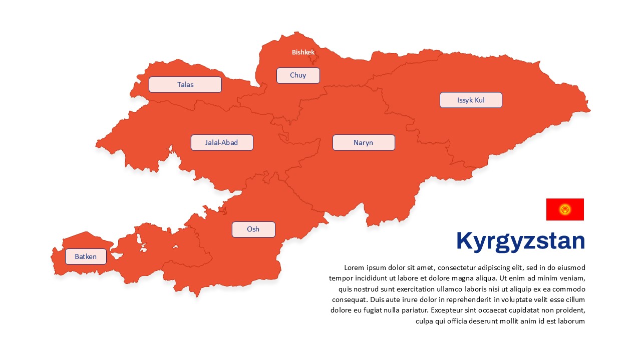
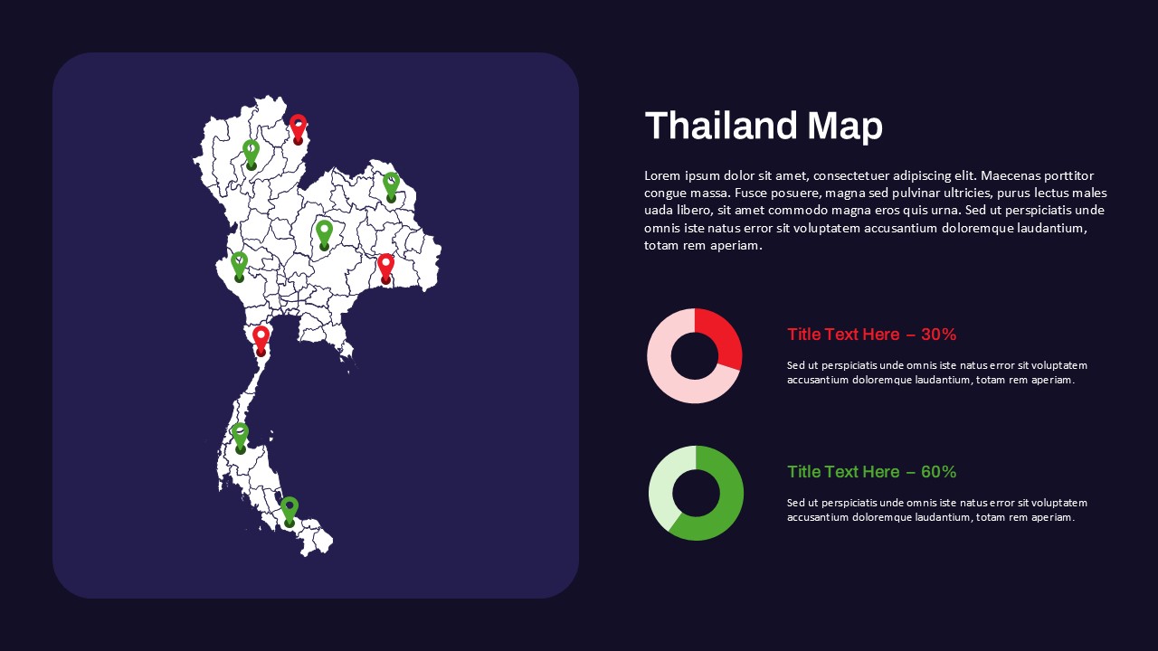
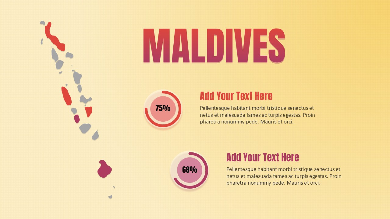
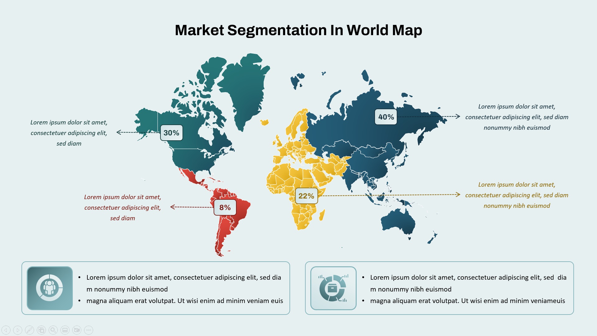
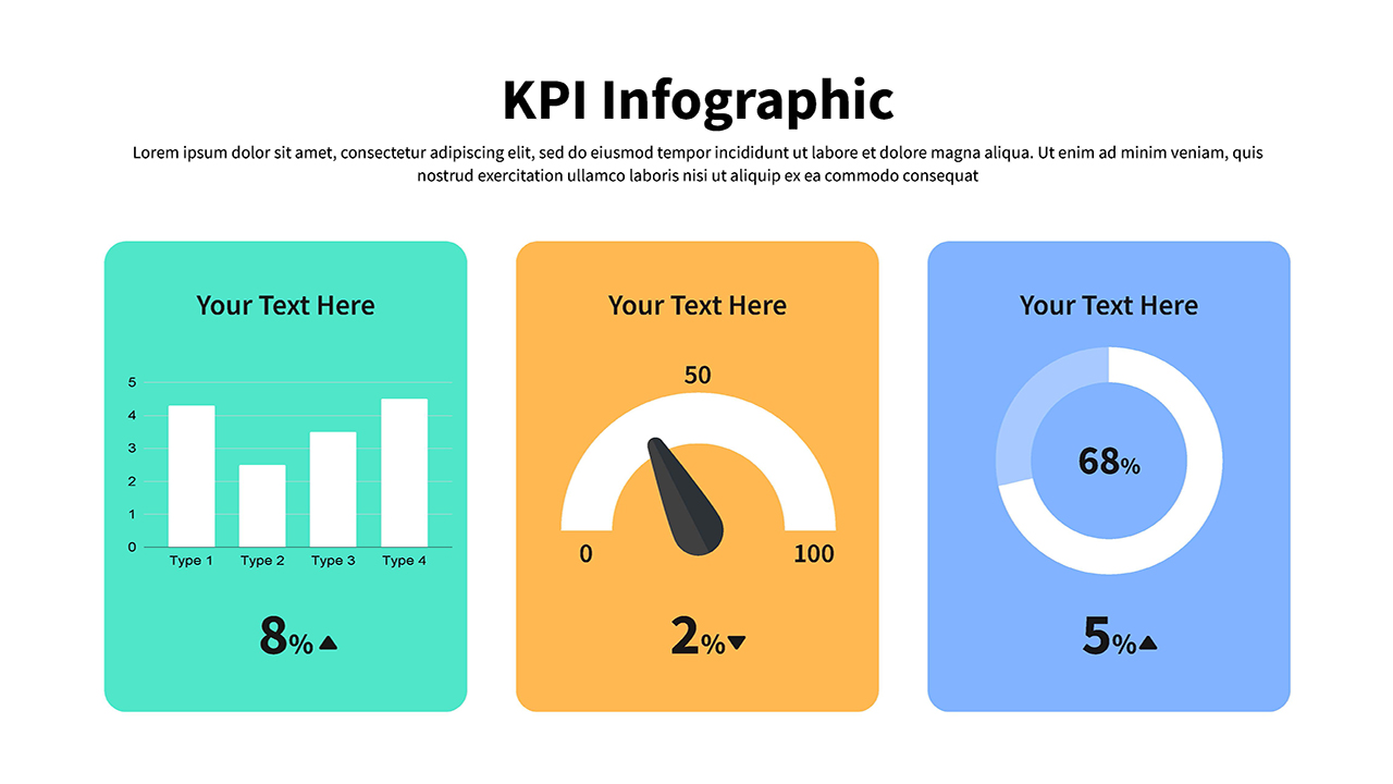
Ideal for business presentations, educational materials, or geographical reports, this template allows users to place pertinent data next to the map, offering a clear visual connection between geographic regions and statistical information. The use of percentage indicators (such as 30% and 60%) enables easy data representation, making the template versatile for different types of analysis and reporting.
The minimalistic design and soothing color palette ensure that the map remains the focal point, while also allowing users to highlight additional information in a structured and easy-to-read format. Whether you’re presenting market research, regional developments, or population data, this template makes it simple to engage an audience with geographic and statistical insights.
The template is available in both PowerPoint and Google Slides, ensuring flexibility for all users and presentation needs.
See more

Aspect Ratio
16:9Item ID
SKT03771
Features of this template
Other User Cases of the Template
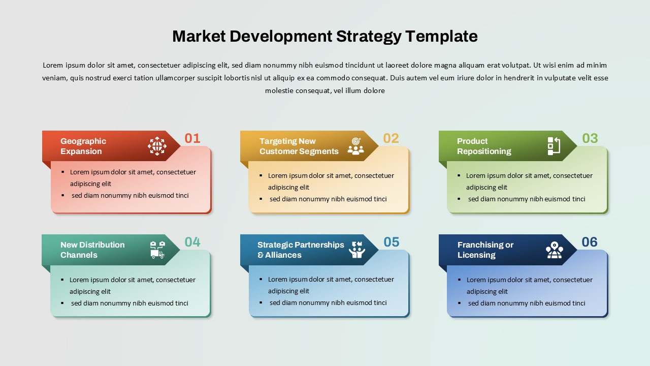
Market research, regional analysis, population statistics, business presentations, geographic studies, demographic reporting, regional development planning, educational presentations, tourism analysis, government or organizational reports
FAQs
You May Also Like These Presentation Templates


- Free
- Free

- Free
- Free


- Free

- Free
- Free