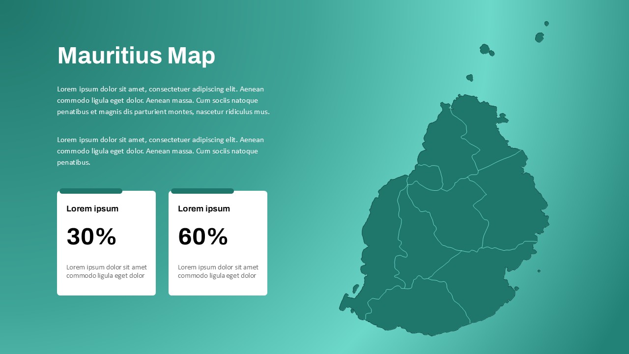
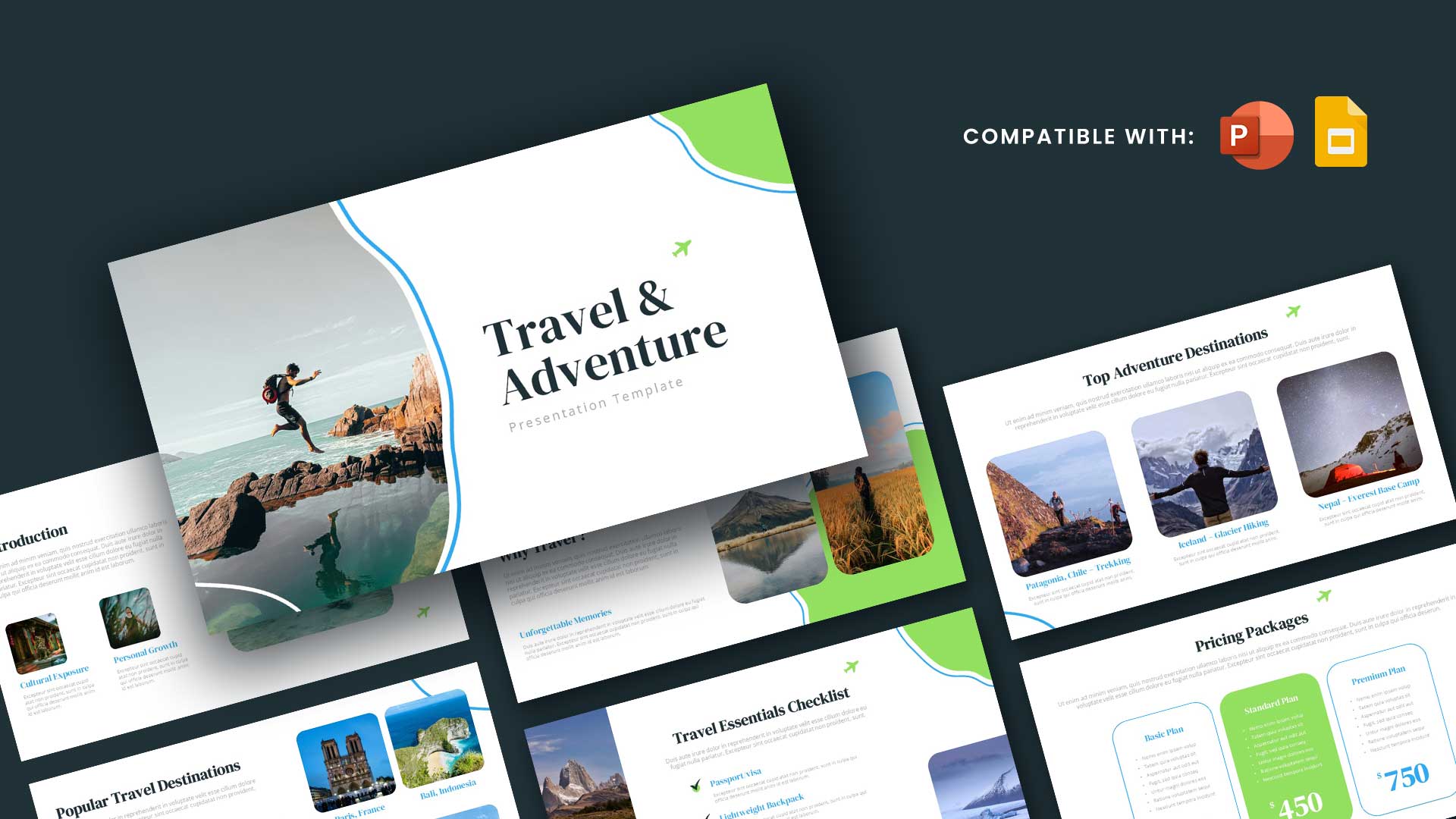
Editable Seychelles Map Template for PowerPoint & Google Slides
Showcase island-specific data and regional highlights with clarity using the Seychelles Map PowerPoint Template—a professional and visually balanced tool designed to present geographical insights, tourism data, or policy plans related to the island nation of Seychelles. Ideal for use in government briefings, travel industry reports, environmental presentations, or educational projects, this template makes it easy to communicate regional information with precision.
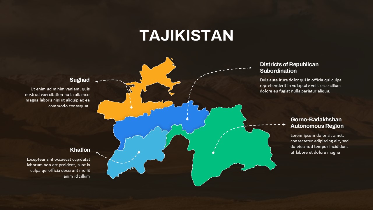
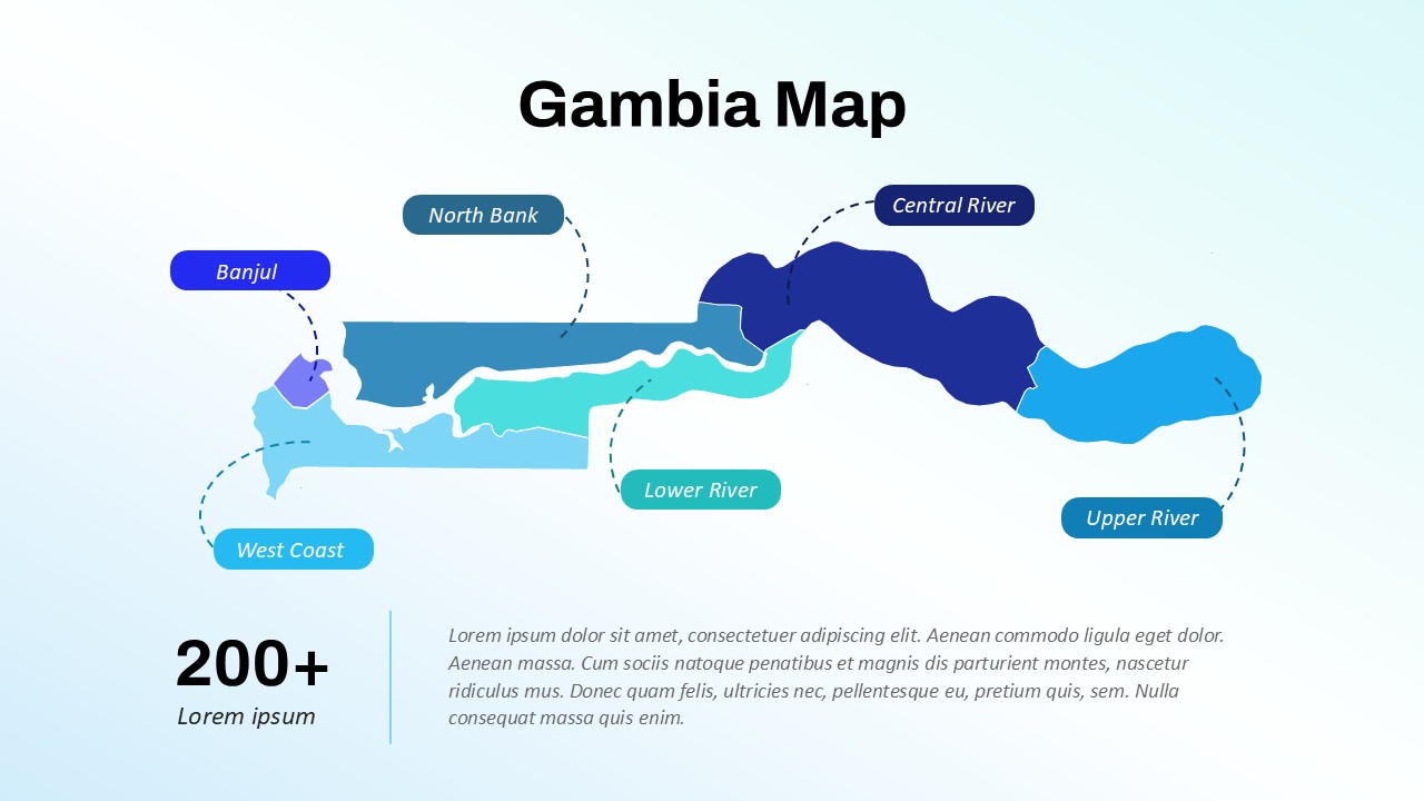
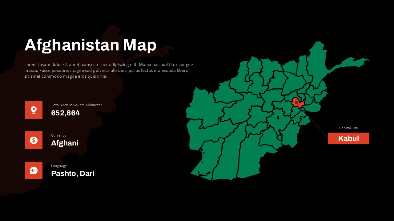
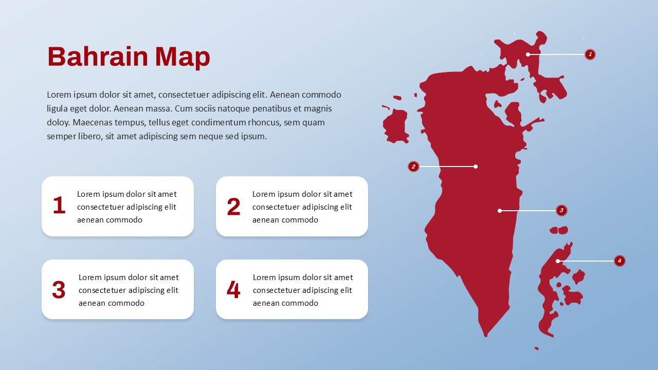
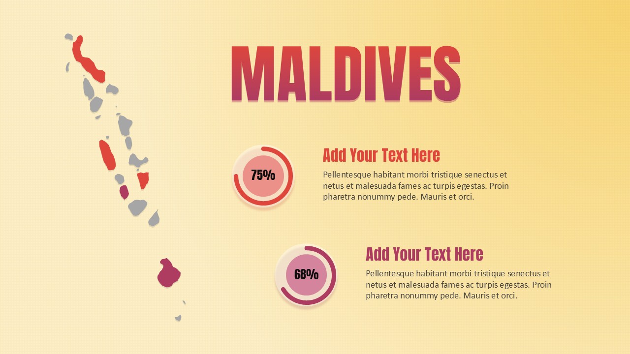
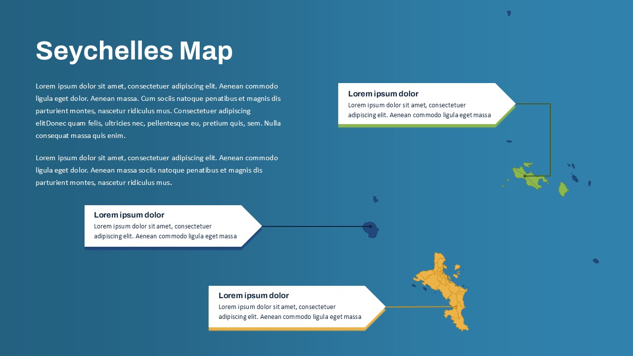
The map slide highlights key island groups within the Seychelles archipelago, featuring color-coded segments and labeled callout boxes to distinguish major locations or metrics. The slide uses a clean blue background to reflect the Indian Ocean setting, while the islands themselves are clearly defined for effective segmentation.
Three dynamic annotation boxes are positioned with connectors pointing to individual island clusters, allowing you to insert text for population statistics, economic data, environmental reports, or destination summaries. The layout supports both qualitative narratives and quantitative metrics, helping users deliver engaging and informative presentations.
Fully editable in PowerPoint and Google Slides, the template allows customization of map colors, pointer lines, and text content. Whether you’re outlining tourism development strategies, presenting regional demographic data, or guiding travelers through top island spots, this map delivers clarity, structure, and visual appeal.
See more

Aspect Ratio
16:9Item ID
SKT03531
Features of this template
Other User Cases of the Template
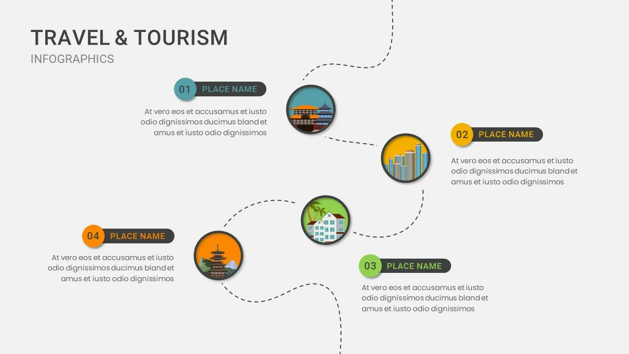
Tourism strategy planning, environmental impact reporting, island infrastructure proposals, educational geography lessons, NGO regional outreach, economic development mapping, travel and tour presentations, marine conservation briefings, policy analysis sessions, logistics route planning.
FAQs
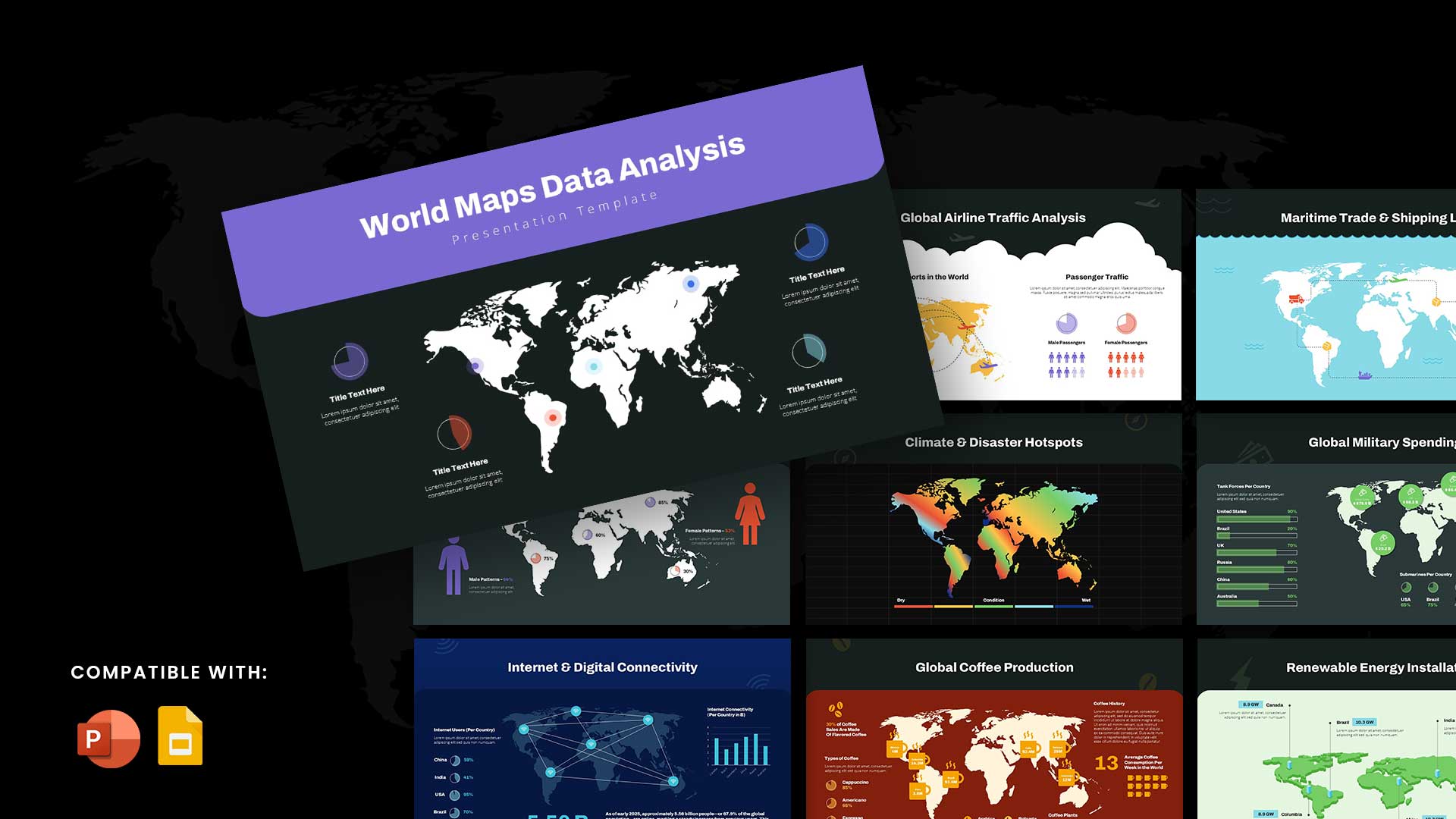
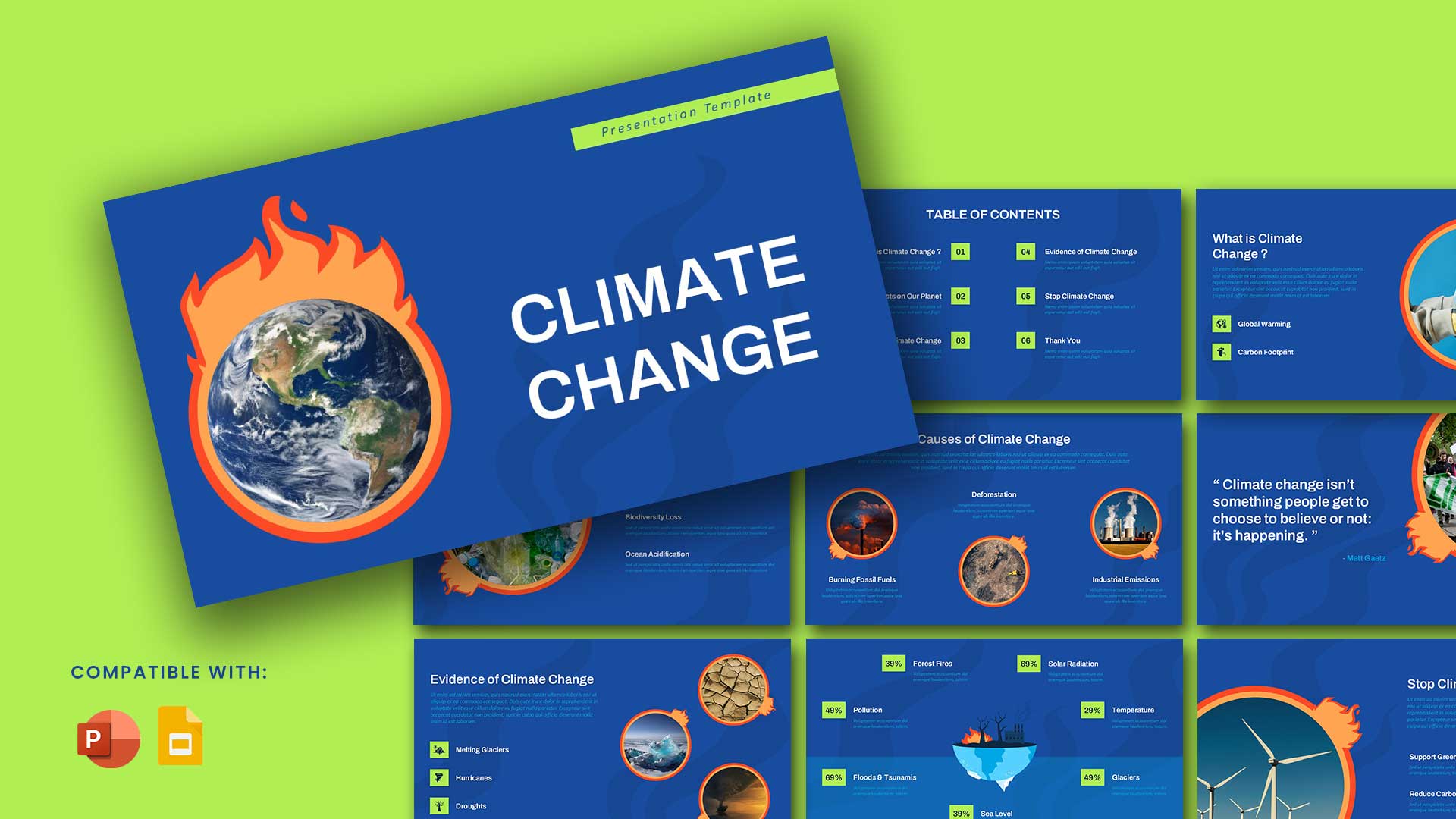
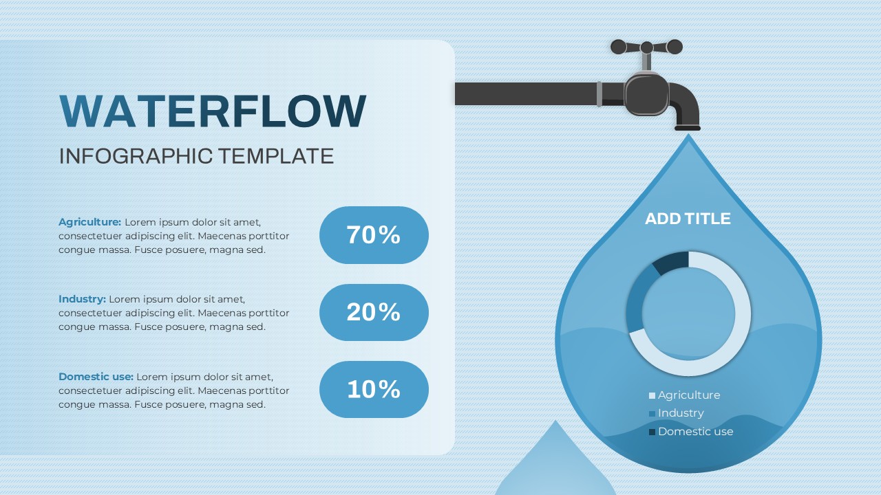
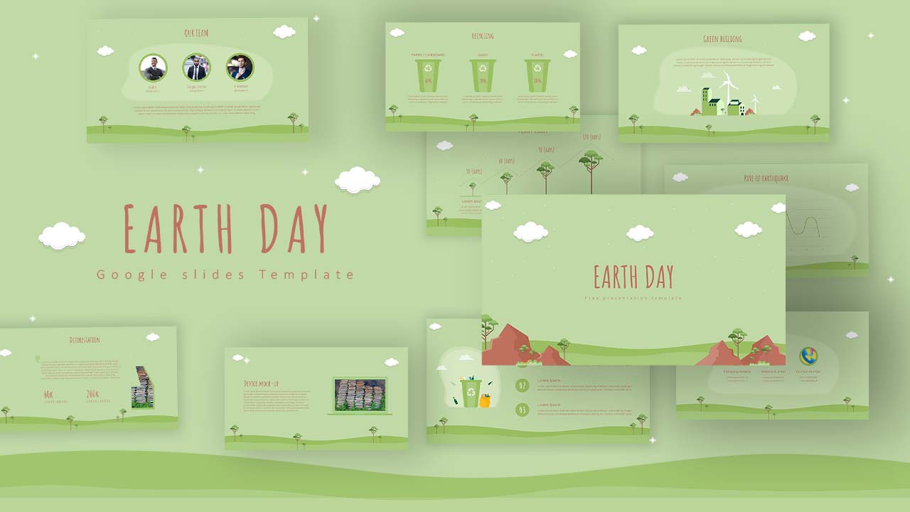
You May Also Like These Presentation Templates


- Free
- Free

- Free
- Free


- Free

- Free
- Free
- Free