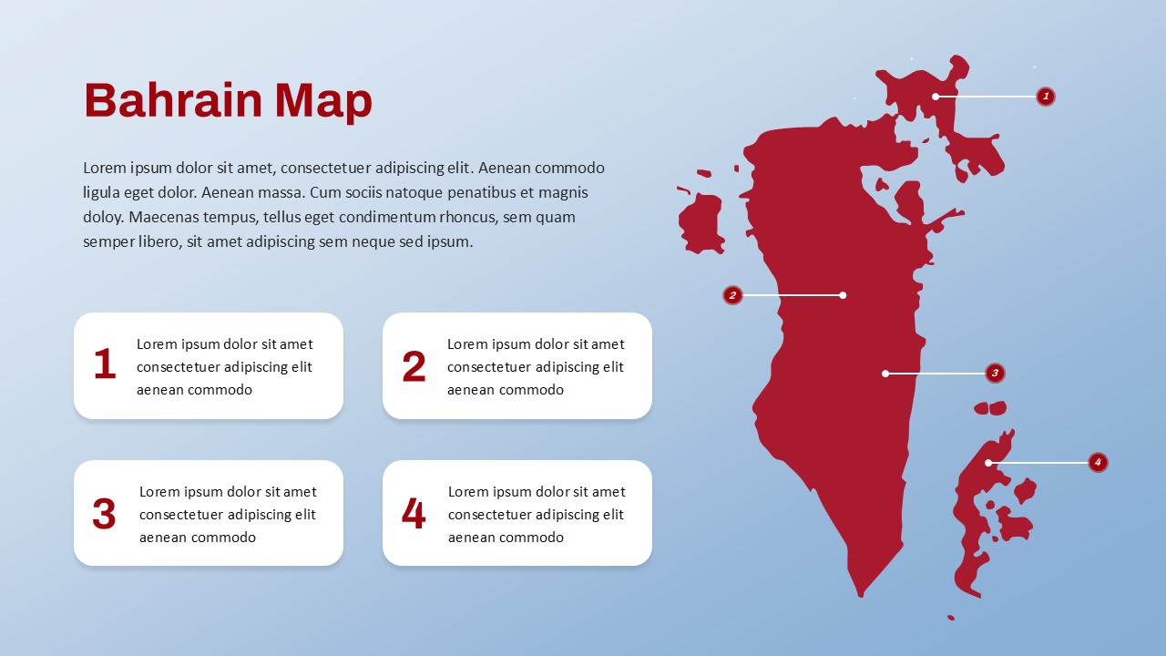
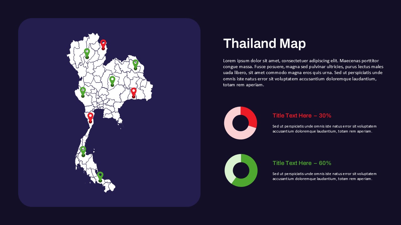
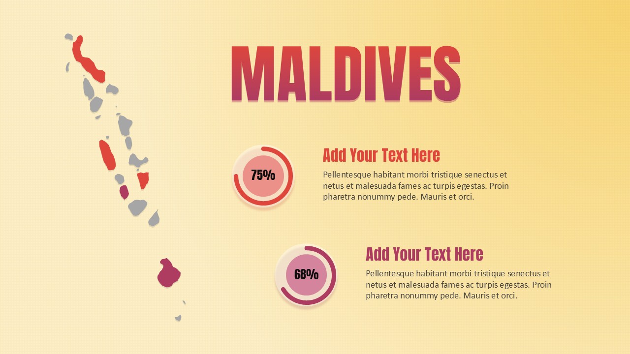
Tajikistan Map Template for PowerPoint & Google Slides
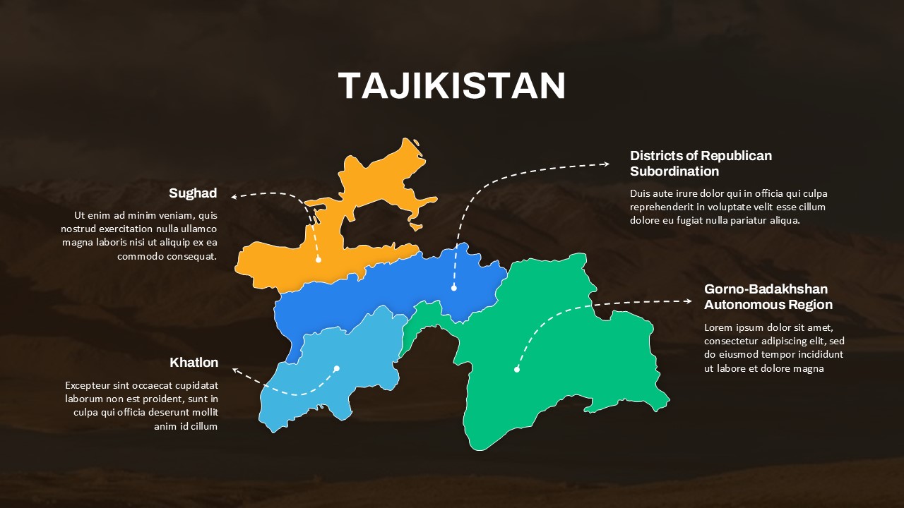
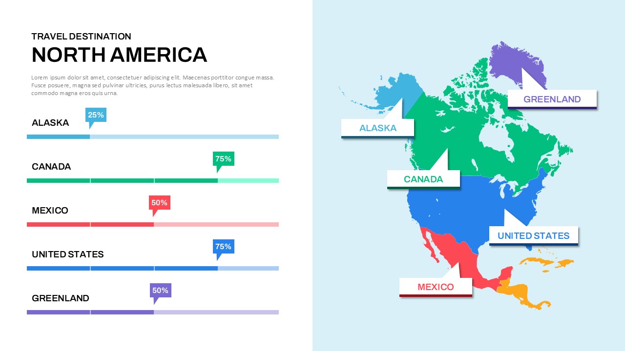
The “Tajikistan Regional Map Presentation Template” is a professionally designed visual tool tailored for showcasing regional insights across the key administrative divisions of Tajikistan. Featuring a clean and colorful segmented map, this slide distinctly marks regions such as Sughd, Khatlon, Gorno-Badakhshan Autonomous Region, and the Districts of Republican Subordination. The vibrant color-coding and clear labeling offer a quick grasp of geographic boundaries, making the template ideal for data visualization, regional reports, and demographic studies.
This slide is especially valuable for educators, policymakers, analysts, or businesses looking to present socio-economic, cultural, or political data in a visually compelling format. The design allows users to highlight regional characteristics, display key statistics, and offer annotations in a structured manner. Accompanied by text boxes with callout pointers, each region is paired with a space for descriptive content, enabling precise and informative storytelling.
Whether used for academic presentations, government briefings, or corporate strategies targeting specific regions in Tajikistan, this template enhances clarity and engagement. Its dark background ensures maximum contrast and readability, while the minimalist design keeps the focus on the map and the data it presents.
Fully compatible with both PowerPoint and Google Slides, this template can be easily customized to suit a range of purposes, from economic analyses to travel overviews and infrastructure planning.
See more

Aspect Ratio
16:9Item ID
SKT03484
Features of this template
Other User Cases of the Template:
Government reports, educational geography lessons, regional development planning, travel presentations, business expansion strategies, market research, NGO activity mapping, infrastructure projects, demographic analysis, policy briefings
FAQs
You May Also Like These Presentation Templates


- Free


- Free

- Free
- Free
- Free
- Free

- Free