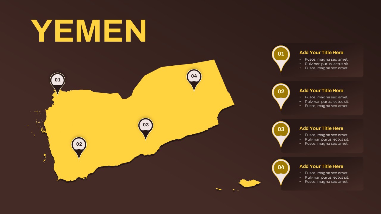
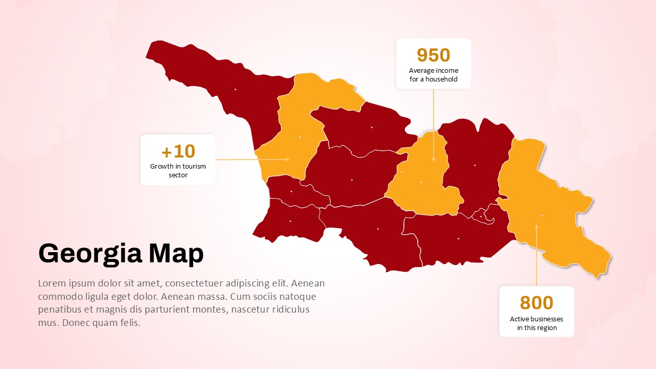
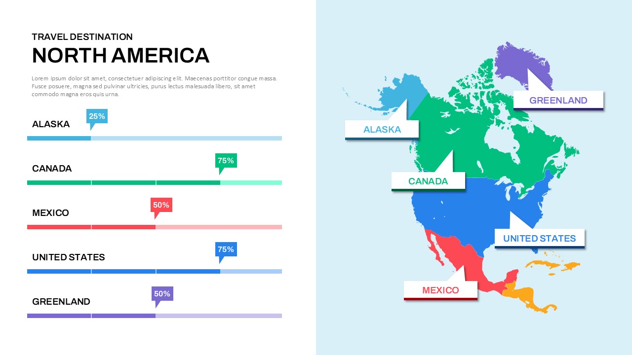
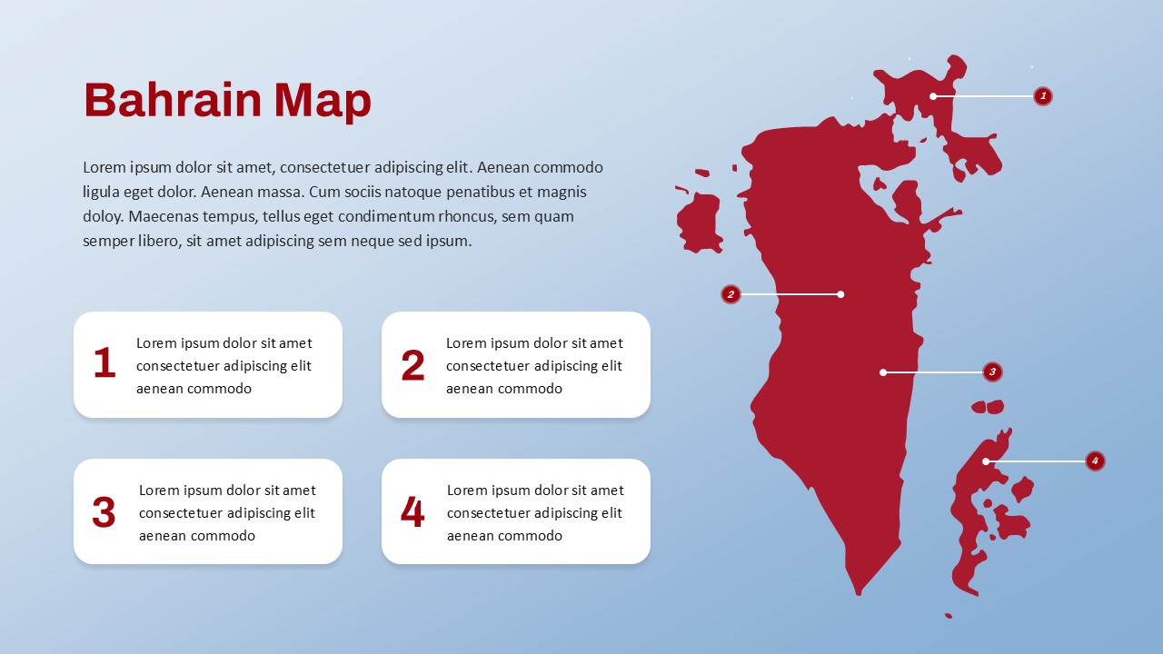
Bangladesh Map Slide for PowerPoint and Google Slides
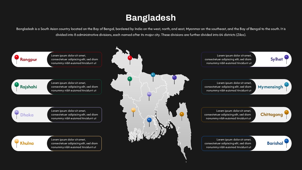
Bangladesh Map with Administrative Divisions
This Bangladesh Map with Administrative Divisions template is a professional and visually engaging slide design that showcases the country’s eight major divisions in a clean, modern layout. Ideal for both educational and professional presentations, this map slide template features a centrally placed map of Bangladesh, with each division clearly marked and color-coded for easy identification. The divisions—Dhaka, Chittagong, Khulna, Rajshahi, Rangpur, Barishal, Sylhet, and Mymensingh—are linked with side annotations, allowing space for detailed text descriptions or regional insights.
Perfect for educators, government agencies, and businesses, this slide allows presenters to communicate regional data, demographic trends, administrative hierarchies, and developmental plans with clarity. The dark background enhances contrast, ensuring legibility, while the color-coded pins and labels add an intuitive visual guide to help audiences follow along easily.
Users can utilize this template to highlight regional statistics, conduct market analysis, or present project distributions across the country. It’s particularly useful for regional reporting, academic studies, policy proposals, and investment briefs. The editable layout supports both PowerPoint and Google Slides, ensuring seamless customization across platforms.
Whether you’re explaining geopolitical subdivisions or visualizing operational presence in Bangladesh, this map-based slide streamlines your narrative, turning data into compelling visual stories that resonate with any audience.
See more

Aspect Ratio
16:9Item ID
SKT03499
Features of this template
Other User Cases of the Template:
regional development planning, educational presentations, demographic analysis, investment pitch decks, government policy briefings, NGO project mapping, market segmentation studies, academic research, business expansion strategy, tourism development proposalsFAQs
You May Also Like These Presentation Templates


- Free
- Free


- Free