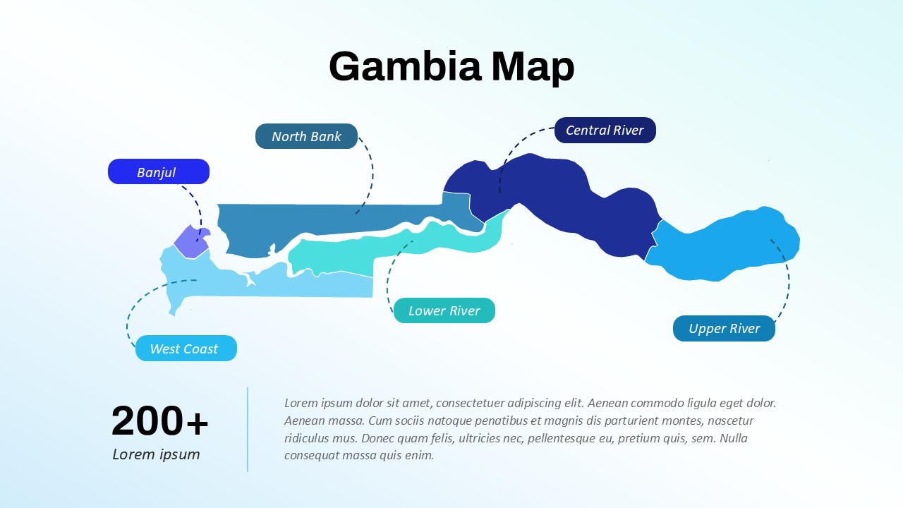
Editable Gambia Map PPT Template & Google Slides

This template is part of a deck featuring multiple slides. To check out all slides, click on See All. See All round right arrow

Present regional insights and geographic data with precision using the Gambia Map PPT Template—a sleek and editable slide design that highlights the country’s six administrative divisions. Ideal for business expansion plans, academic research, demographic reports, or NGO presentations, this template offers a visually impactful way to communicate location-based data.

The map layout features clearly labeled regions: Banjul, West Coast, North Bank, Lower River, Central River, and Upper River, each depicted in distinct gradient colors for better distinction and visual clarity. This regional breakdown allows users to spotlight specific areas for analysis—whether it's population statistics, infrastructure projects, tourism development, or public health planning.

Supporting graphics include clean labels and dotted connectors, ensuring your audience can quickly identify each region and its relevance. The modern design and smooth gradients give the map a polished, professional appearance, making it suitable for both corporate and educational use.

The template is fully customizable in both PowerPoint and Google Slides, enabling users to adapt color schemes, add icons, or layer in charts and text as needed. Whether you're presenting to stakeholders, local governments, or an international audience, this map delivers both clarity and authority.

Use this template to elevate your storytelling with geo-contextual relevance—making your insights more compelling, targeted, and actionable.

See more