Global Maritime Trade And Shipping Lanes Map PowerPoint Template
This template is part of a deck featuring multiple slides. To check out all slides, click on See All.
See All

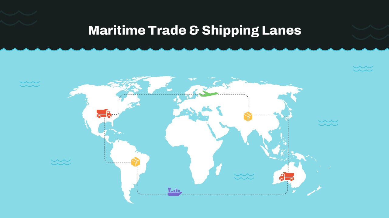
A world map slide titled “Maritime Trade & Shipping Lanes” illustrating global trade routes. It features icons for trucks, cargo ships, airplanes, and packages connected by dotted lines, representing international logistics and supply chain movements across continents.

